
Page 190 - Curriculum Visions Dynamic Book
P. 190
Columbia was a typical settlement of early colonial times, being sited on the Fall Line. Rapids connect the inland area known as the Piedmont, with the flat coastal plain, making navigation up the rivers impossible. Such points were natural loading and unloading points for goods and people moving west. At the same time, the swiftly- flowing river rapids could be used to power water mills.
Because it was a place where two rivers met, it was a route center and so this is where the Congarees fort was built in colonial times. It could guard three routes at once. At that time it was on the frontier with unexplored lands. A ferry was started in 1754 to connect the fort with settlements that had been built under its protection on the higher ground on the east bank.
When the state of South Carolina was formed in 1786, the government wanted to find a central location for their new capital. The name Columbia was a term used to mean
the United States, and has its origins in the name Christopher Columbus. It was one of the first planned cities in the United States.
When the city was laid out, the roads were made unusually wide.
They were generally at least 100 feet (30 m) wide. This was because it was the common belief at that time that mosquitoes, a permanent nuisance at Columbia, could not fly more than 60 feet (18 m) without dying of starvation along the way. Although that proved an incorrect idea, the wide roads still give the city an unusually spacious feel. The original State House was built between 1786 and 1790. The oldest house that still survives from this time
is the elegant Hale-Elmore-Seibels House, presumable built by a wealthy merchant who was profiting from the growing trade brought
by Columbia being the state capital.
However, communication to the
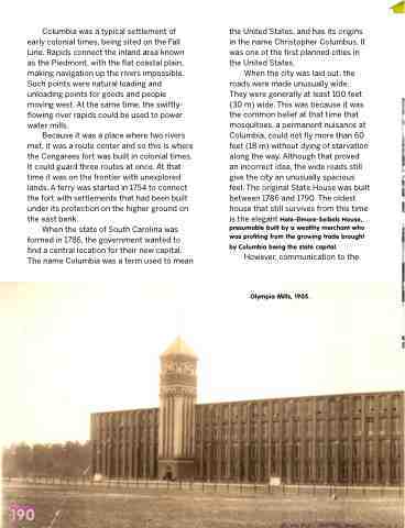
Olympia Mills, 1905.
190
