|
Location: 51N 0W (England); length 250km/150mi; drainage basin: 10,000sq km/4000sq mil.
Tributaries Cherwell. Kennet, Lea, Loddon, Medway, Mole, Wey, and Windrush The material presented for the Thames is very long and has been compiled into a printed-style document for ease of use. This is called a pdf document. You open it by clicking on the link below. If you already have Adobe Acrobat on your machine, the file will open automatically and you can either read it on screen or print it. Open an illustrated River Thames document
Below are some pictures of the Thames.
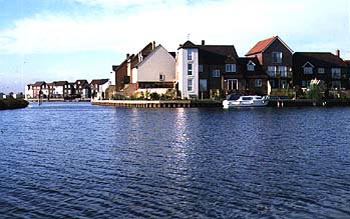
Abingdon
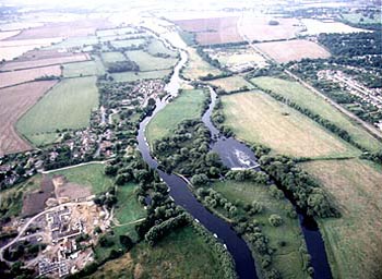
The Goring gap.
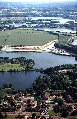
Gravel extraction from the floodplain near Reading.
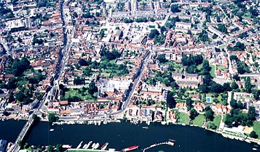
Henley
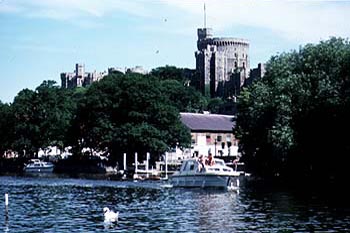
Windsor
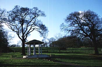
Runneymede, Windsor
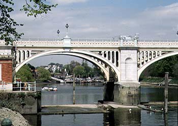
Teddington weir, the upper tidal point
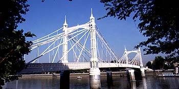
Albert Bridge, London.
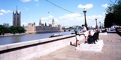
Thames embankment, London.
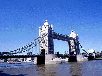
Tower Bridge
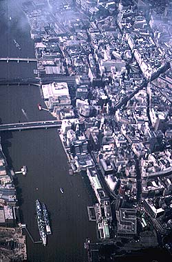
Central London from the air. The Tower of London is at the bottom right, and the top of the picture is west.
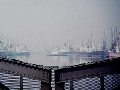
London's old dockland.
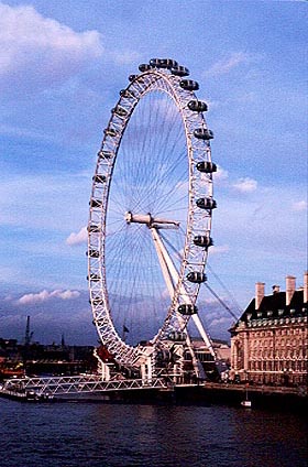
London Eye on the South Bank in London.
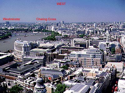
Central London panorama from St Paul's cathedral looking west.
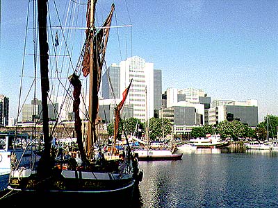
St Katherine's dock, the oldest dock now used for tourism.
|