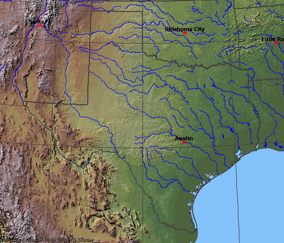
State rivers in their landscape. Notice how the land slopes from northwest to southeast and how the rivers therefore flow southeastward to the Gulf.
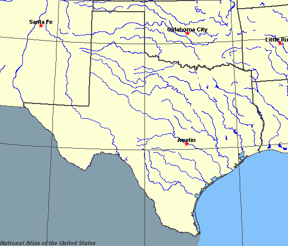
State rivers only. Download and print this to draw watershed boundaries or to put on river names.
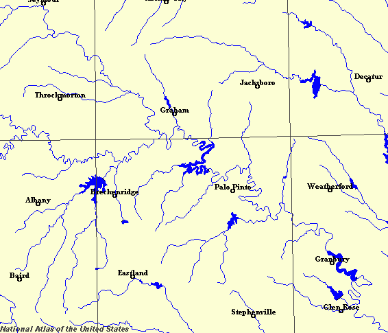
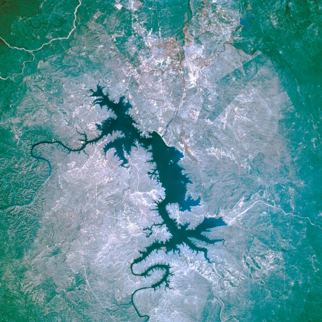
Enlarged view of part of the state river system. You can select other parts and your local area from the National Atlas (see below). This detail shows how many rivers have been dammed to make reservoirs.
|
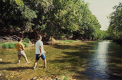
Mixed oak woodland and river system north of Austin.
International Amistad Reservoir, Texas, U.S.A. The color infrared film in this photograph is best used to map the land-water boundary around International Amistad Reservoir, a dammed section of the Rio Grande just northwest of Del Rio, whose infrastructure is not discernible. The Rio Grande enters the reservoir from the northwest, and Devils River flows into the northeast side. The dam is the thin, white feature south of the reservoir.
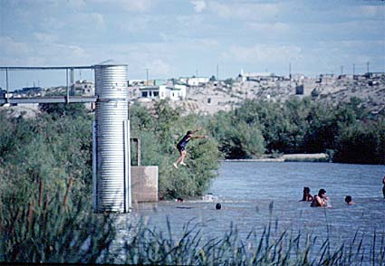
Rio Grande at El Paso.
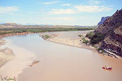
Rio Grande at Big Bend.
Texas (whose name comes from the Caddo word for "friends" - Tejas) is one of the western south-central states of the United States. It is one of the largest states. Texas has a wide variety of types of landscape and these have a profound effect on the nature of the rivers. In the west there are high mountains of the southern Rockies, then eastward are wide plains, first part of the Great Plains, then the lower Central Plains. Near the coast are swampy plainland marshes and in the southwest, desert. In an area where so much of the land is semi-arid, rivers have always played an important part in the routes of exploration and the location of the settlements. The main rivers are the Red, Brazos, Colorado and Rio Grande. Each of these major rivers has a drainage area within the state of about 100,000 square kilometres (40,000 square miles). The Red River has its headwaters in New Mexico, and flows eastward across the northern part of the state, marking the Texas-Oklahoma boundary. The Brazos River flows across northern Texas in a southeasterly direction, flowing directly into the Gulf of Mexico at Freeport. The Colorado River (not to be confused with the river of the same name that flows east from the Rockies from Colorado) drains the High Plains. The Rio Grande flows directly south from Colorado, marking the international boundary with Mexico south of El Paso to the Gulf of Mexico. It is joined by a major tributary, the Pecos. The Rio Grande is so heavily used for irrigation, and receives so few tributaries as it flows though the southwestern deserts that, south of Big Bend, it becomes smaller and smaller until the main Mexican tributary, the Rio Conchos, flows in near Presidio.
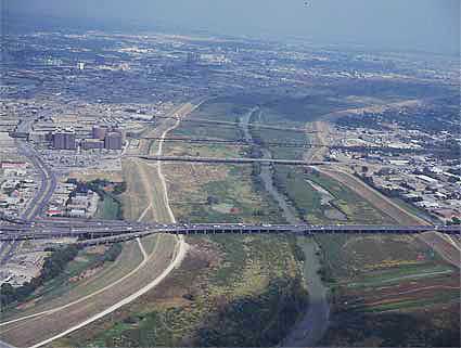
The tendency for rivers to swell after hevy rains and burst their banks is reflected in the large area of undeveloped land beside many rivers in Texas. This is Dallas/Forth Worth. The metro region runs by the Trinity River.
In the east of Texas, the climate is more humid as air flows up from the Gulf off Mexico. Here rivers are more frequent and less liable to dry up in the summer. The main rivers of this area are the Sabine, Neches, and Trinity Central rivers are the Nueces, San Antonio, and Guadalupe rivers which flow directly into the Gulf. There are few lakes in Texas, but many reservoirs. Most rivers are dammed for irrigation, power and sometimes to aid in flood control. |