|
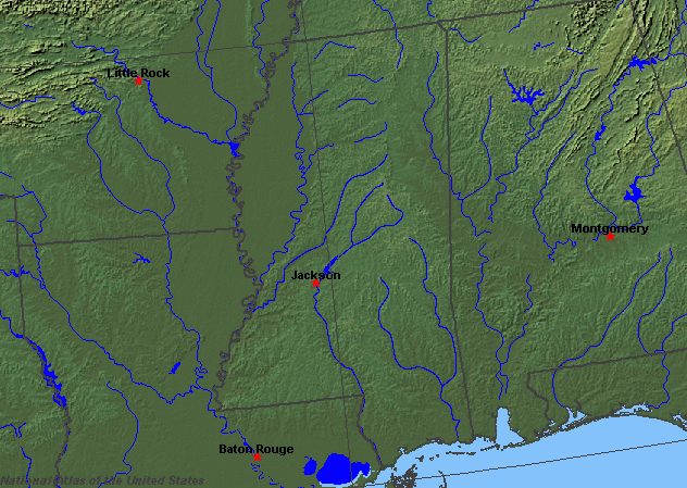
State rivers in their landscape. Notice that rivers broadly flow south or southeast across the state to join the Mississippi or flow directly into the Gulf.
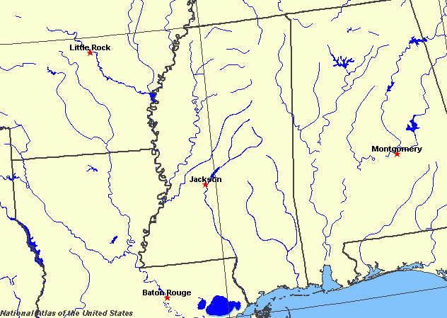
State rivers only. Download and print this to draw watershed boundaries or to put on river names.
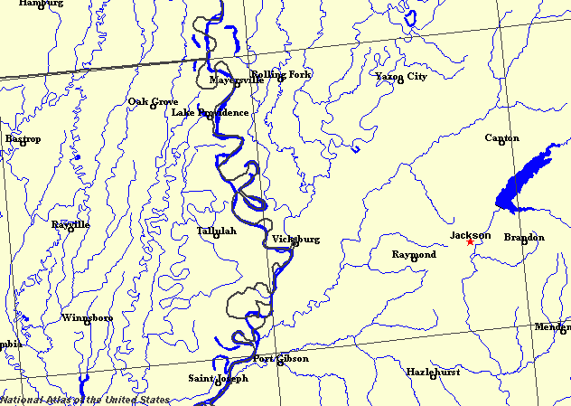
Enlarged view of part of the state river system. You can select other parts and your local area from the National Atlas (see below).
|
|
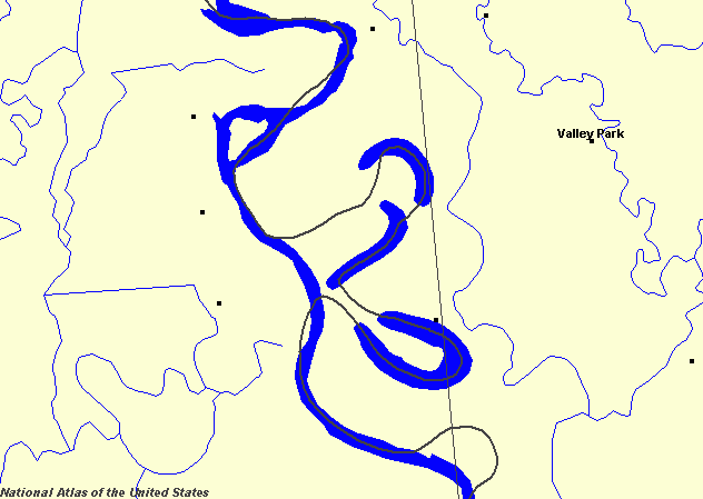
The state of Mississippi lies in the Gulf Coastal Plain, with the Mississippi River forming its eastern border. The floodplain of the Mississippi and its main eastern tributary the Yazoo, form a large, flat region known as the Delta (although it is not near the Mississippi delta, which is in Louisiana). The Delta is a 100 kilometres (60 miles) wide strip of floodplain. This was a region made fertile by natural annual flooding. However, the increasing use of the floodplain for farming made for demands to embank the river and keep floodwaters at bay. Levees therefore now line the river, greatly elevating the natural embankments. The Mississippi meanders most spectacularly as it forms the border with Louisiana and Arkansas. This is the stretch in which the Corps of Engineers began a massive reworking of the river during the 1930s. A whole string of meanders have been cut through so that the state border no longer exactly follows the river line.
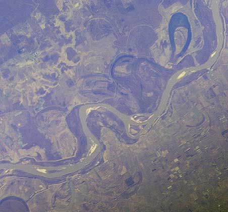
Spectacular meanders and oxbows of the Mississippi.The other rivers of the state are mainly tributaries of the Mississippi. The Yazoo and the Big Black drain the north east. The south is drained by the Pearl, Pascagoula and Tombigbee directly into the Gulf of Mexico. A small part of the Tennessee River drains the extreme northeastern part of the state, but this water, too, eventually finds its way to the Mississippi. The need to try control flooding has led to the construction of many reservoirs. These include reservoirs on the Yazoo at Arkabutla, Sardis, Enid, and Grenada, and the largest on the Pearl River at Jackson.
|