|
||

|
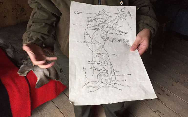
One of the purposes of the expedition was to construct maps of the river and the land nearly. You can see from the loops shown on this map, that Lewis and Clark were well aware of how the Missouri changed course frequently. |
|

|
|
||
|
|
One of the purposes of the expedition was to construct maps of the river and the land nearly. You can see from the loops shown on this map, that Lewis and Clark were well aware of how the Missouri changed course frequently. |
|