|
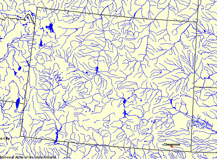
State rivers in their landscape. Notice that rivers flow north, south and predominantly east across the Great Plains.
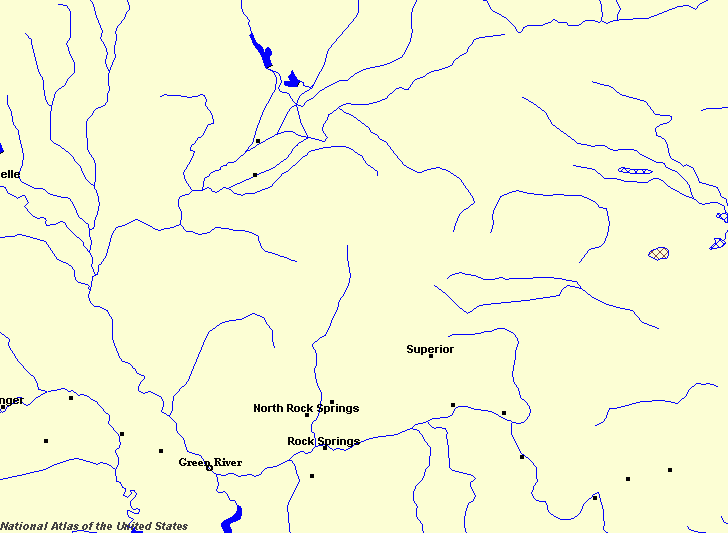
State rivers only. Download and print this to draw watershed boundaries or to put on river names.
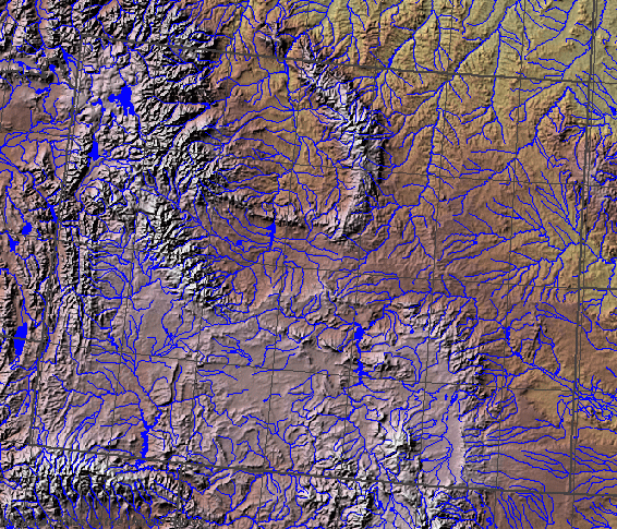
Enlarged view of part of the state river system. You can select other parts and your local area from the National Atlas (see below).
|
|
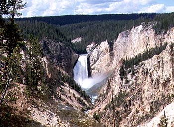
Lower Yellowstone Falls.
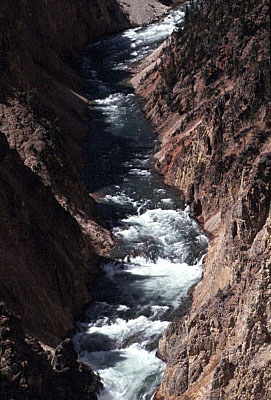
Rapids below the Lower Yellowstone Falls.
Wyoming is part Great Plains state and part Rocky Mountains state Wyoming straddles the eastern side of the Rocky Mountains and the western side of the Great Plains. Wyoming provides some of the headwaters of the continent's largest rivers. To the east are found the headwaters of the Missouri, itself the major tributary of the Mississippi. Headwaters of the Missouri include the Yellowstone (which flows from Yellowstone National Park), Bighorn, Tongue, Powder, Cheyenne and North Platte. The North Platte is the largest river in Wyoming, and on one of its many crossing points is situated Casper, the second largest city. Headwaters of the Colorado begin in Wyoming. The Green River is one of the major tributaries of the Colorado, carrying more water than the Colorado itself when the rivers meet in Utah. The headwaters of the Snake, the largest tributary of the Columbia, are also in Wyoming, the major source of the Colorado River. The Bear River flows south, rather than north to the Columbia. In doing so it flows into a closed inland basin to swell the seasonal waters of Utah's Great Salt Lake. There are no large natural lakes in Wyoming, but many small mountain lakes such as Yellowstone Lake. However, engineers have dammed many rivers and impounded reservoirs such as the Bighorn Lake which stretches up into Montana, Pathfinder, Seminoe, Glendo, Boysen, Alcova, Buffalo Bill, Fonenelle and the Flaming Gorge Reservoir that stretches into Utah. All of the rivers in Wyoming vary greatly in their seasonal flows. Most of the drainage basins are covered with snow throughout the winter and rivers cease to flow. Then, when the spring thaws come, the rivers burst into flood, only to be reduced to little more than trickles as the long, dry summer comes along. It is the extreme variation in flow that caused the many dams to be placed on the rivers. Not only can they provide flood control, but also irrigation water in summer and hydro-electric power for much of the year. All of the reservoirs also provide recreational opportunities. |