|
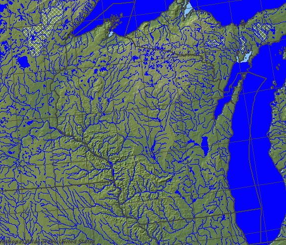
State rivers in their landscape. Notice that rivers broadly flow south across the state to join the Mississippi.
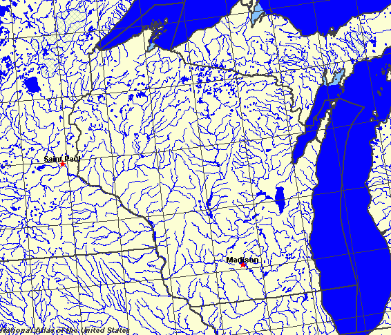
State rivers only. Download and print this to draw watershed boundaries or to put on river names.
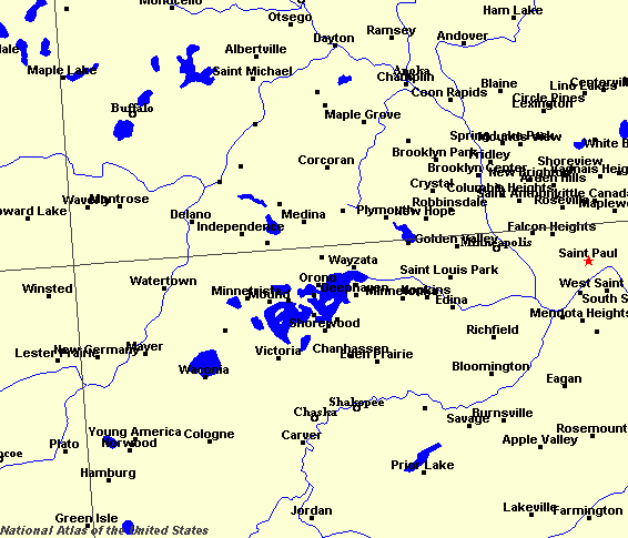
Enlarged view of part of the state river system. You can select other parts and your local area from the National Atlas (see below).
|
|
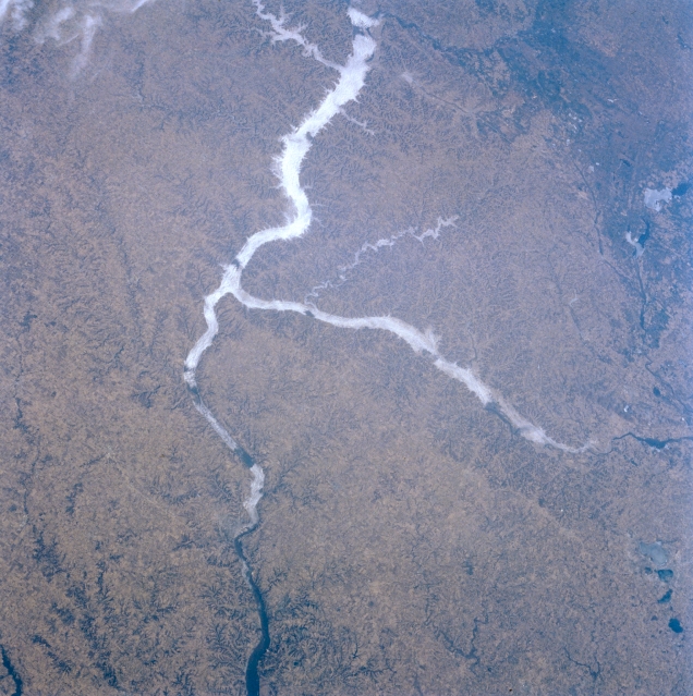
Mississippi and Wisconsin Rivers; Driftless Area, Wisconsin, U.S.A. The Driftless Area of southwestern Wisconsin, northeastern Iowa, and southeastern Minnesota is discernible in this northwest-looking, low-oblique photograph. Also referred to as the Western Upland, it is generally an agricultural region with residual, well-drained soilŃa dissected (eroded) upland. The continental glacier that covered most of the surrounding regions did not touch the Driftless Area, which abounds in hilly, rugged terrain; caves; and sinkholes. Apparent are the Mississippi River Valley as far as south of Dubuque, Iowa (barely discernible near bottom center), and the Wisconsin River, which flows westward to the Mississippi River. Fog is discernible in the valleys of the Mississippi and Wisconsin Rivers and in the smaller Kickapoo River Valley (near center).Wisconsin (named for an Indian expression for the gathering of the waters) is one of the east north central states of the United States. Its northern and eastern boundaries are formed by lakes Superior and Michigan. Its western boundary is formed by the Mississippi River and the St. Croix. The state contains over 8000 lakes, many of them bounded by ridges of material called moraines that were deposited at the end of the last Ice Age. However, the Western Upland was not eroded by ice or covered by glacial debris. In this area rivers have had time to cut deep gorges, producing dramatic scenery in an otherwise gently rolling landscape. The center of Wisconsin represents the continental divide in this region. The divide separates rivers running to the Great Lakes and thence to the Atlantic Ocean, from rivers draining to the Mississippi and the Gulf of Mexico. The main westerly flowing rivers are the St. Croix, Chippewa, Black, and Wisconsin. Many smaller rivers flow directly into Lake Michigan. The largest lake is shallow Lake Winnebago, with an area of some 560 square kilometres (215 square miles). The state capital, Madison is set among lakes Mendota, Monona, Waubesa, and Kegonsa. Many of the lakes are still within areas of natural forest. Areas that have not filled with water enough to produce lakes, or lakes that have subsequently filled in with silt, make up Wisconsin's extensive swamplands. |