|
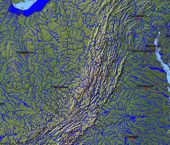
State rivers in their landscape. Notice that rivers broadly flow west across the state. Rivers in the east flow northeast within the Appalachians.
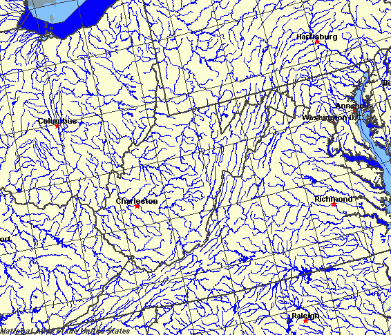
State rivers only. Download and print this to draw watershed boundaries or to put on river names.
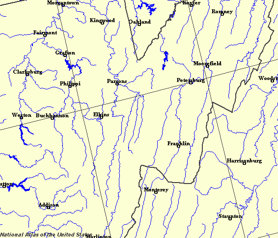
Enlarged view of part of the state river system. You can select other parts and your local area from the National Atlas (see below).
|
|
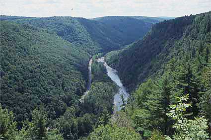
The New River Gorge, part of the Kanawha basin.West Virginia is one of the South Atlantic States. West Virginia straddles the Appalachian Mountains and is often referred to as the Mountain State. The boundaries of West Virginia are mainly formed by the banks of major rivers. For example the western boundary of West Virginia is on the bank of the Ohio River; the Big Sandy marks the boundary between West Virginia and Kentucky; the boundary between West Virginia and Maryland is formed by the Potomac. The boundary between Virginia and West Virginia, on the other hand, is marked by the mountainous edges of drainage basins. Running down the center of West Virginia is a natural change in the landscape called the Allegheny Front. This marks the difference between high plateaulands to the west and ridge and valley to the east. It also separates the western rivers that drain to the Ohio and hence to the Mississippi, from the ridge and valley whose rivers drain to Chesapeake Bay and the Atlantic Ocean. The Ohio River is the largest river in the state. Its meandering course down the western side of the state is now far less wild than it used to be even in the recent past due to an extensive network of barrages that act to help prevent flooding and also low water during summer drought. The regulation of this river has meant improved navigation and the chance to produce hydro-electric power.
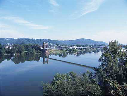
The Ohio at Wheeling.The Ohio's tributaries in West Virginia are the Monongahela, Little Kanawha, Kanawha, Guyandotte, and Big Sandy rivers. The Shenandoah and other rivers, such as the Potomac, that flow east from the Allegheny Front follow the lines of the valleys, and occasionally dramatically cut right across the ridges to form water gaps. |