|
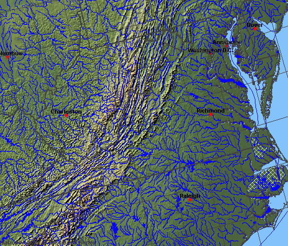
State rivers in their landscape. Notice that rivers broadly flow east across the eastern part of the state. Rivers in the west flow north within the Appalachians except where they cut through ranges in water gaps.
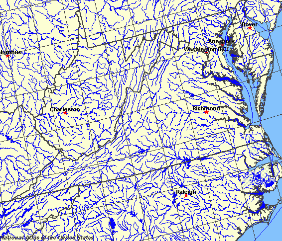
State rivers only. Download and print this to draw watershed boundaries or to put on river names.
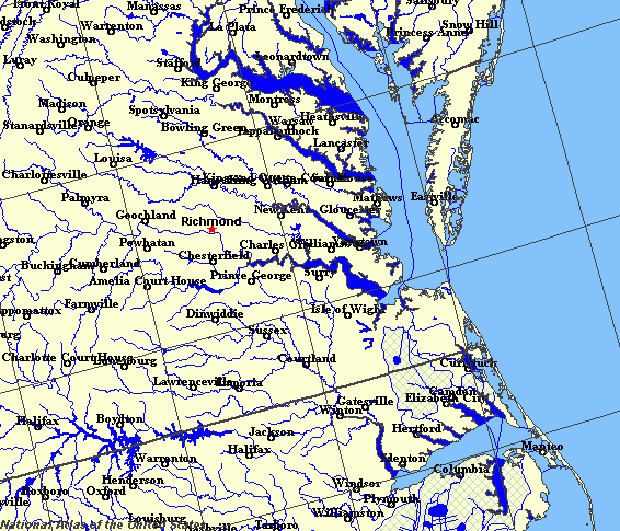
Enlarged view of part of the state river system. You can select other parts and your local area from the National Atlas (see below).
|
|
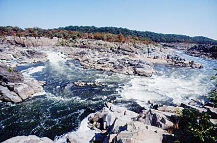
The Great Falls of the Potomac close to the boundary of Virginia and Washington, D.C.
Virginia (which is named for Queen Elizabeth I, the Virgin Queen) is a South Atlantic state. The state has three types of landscape: the Appalachian Mountains in the west, the Piedmont hills, then the Coastal Plain in the east. Each of these types of landscape has an impact on the rivers of the state. The extreme west of the Appalachians in Virginia are known as the Blue Ridge. This is an area of ridges and valleys. In some places the ridges have been cut through by rivers to leave gaps. The gaps have been important routes for communications in the past. The Roanoke River cuts the Blue Ridge in two, the northern part being much narrower than the south. The largest of the valleys is called the Great Valley. This valley is drained northward by the Shenandoah River, the central region is drained eastward by the Roanoke and James rivers and in the south by the New, Holston, and Clinch rivers which eventually drain to the Mississippi. The Appalachian Plateau makes up the southwesternmost part of the Appalachian Mountains. Here rivers have cut deep, steep-sided valleys, often steep enough to be called ravines or gorges. Some of these are water gaps. The Cumberland Gap in the Cumberland Mountains is the most famous and important of these. The Piedmont is a landscape of rolling hills that connects the Appalachians with the Coastal Plain. Rivers flowing off the Appalachians cross the Piedmont and then spill down through rapids and falls to the Coastal Plain. This junction is called the Fall Line. The Potomac reaches the Fall Line at the great Falls, while the Rappahannock reaches the Fall Line at Fredericksburg, and the James at Richmond. As rivers reach the Coastal Plain, they slow down, stop cutting deep gorges and begin to wander over the plain. Many of the rivers drain into the Chesapeake Bay. Few of these rivers have good deep harbours. The exception is the Hampton Roads basin where the James flows into the Chesapeake Bay. One of the main features of the southern Coast Plain are the coastal swamps and marshes. The largest of these is called The Dismal Swamp. |