|
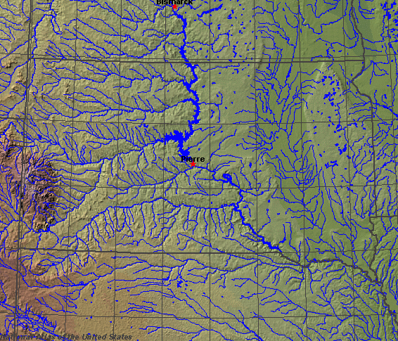
State rivers in their landscape. Notice that rivers broadly flow east across the state from the Rockies until they reach the Missouri. In the eastern part of the state they flow south..
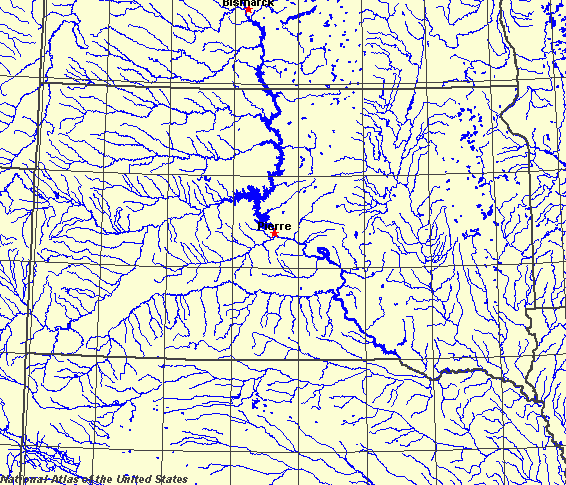
State rivers only. Download and print this to draw watershed boundaries or to put on river names.
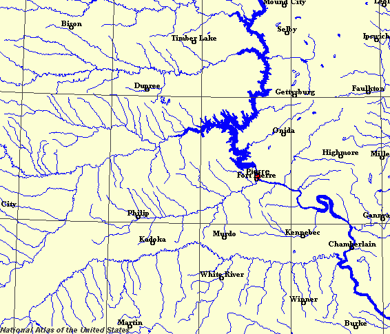
Enlarged view of part of the state river system. You can select other parts and your local area from the National Atlas (see below).
|
|
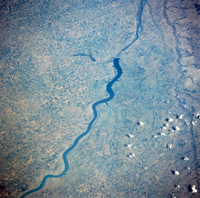
Fort Randall Dam; Lake Francis Case, South Dakota. Visible in this southeast-looking, low-oblique photograph are Fort Randall Dam, which was completed in 1952, and Lake Francis Case. Approximately 150 miles (242 kilometres) long, Lake Francis Case is used for hydroelectric power, agricultural irrigation flood control, and recreation. Agricultural field patterns are discernible on either side of the lake. Long, linear Lake Andes, northeast of Fort Randall Dam, occupies a valley eroded near the end of the last ice age by glacier meltwater. The lake, whose level is maintained by rainfall and two artesian wells, has been set aside as a National Wildlife Refuge. To the south lies the Niobrara River Valley of northern Nebraska.
South Dakota is one of the west-north-central states of the United States. The land of South Dakota dips gently eastward from the Great Plains to the Prairies (Central Lowland). The state is dominated by the Missouri River, which flows diagonally across the landscape from northwest to southeast. All of the eastward-flowing rivers, such as the Cheyenne, are tributaries to the Missouri. Only the extreme northeasterly part of the state is the exception to this, draining northward instead to Hudson Bay. The Missouri and the Big Sioux rivers join in the extreme southeast of the state, where each river forms part of the state's border. The main Great Plains tributaries of the Missouri are the Bad, Cheyenne, Grand, Moreau, and White rivers. The main prairies rivers are the Big Sioux, James, and Vermillion. The Missouri River has cut down deeply into the plateaulands, creating suitable conditions for the construction of dams and reservoirs. The dams, four of which are among the world's largest earth dams, were built in the 1950s and 60s, creating a series of lakes that turn the upper Missouri into almost one continuous lake - Lewis and Clark Lake. The water stored is, in essence, a flood control measure, but the water is of immense value for hydroelectric power and irrigation. The lakes are also used for recreation. The Ice Age left a legacy of hummocky deposits over the state, so that there are now innumerable small ponds and lakes dotted across the state. They are often seasonal in nature. |