|
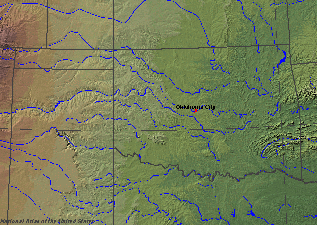
State rivers in their landscape. Notice that the rivers flow broadly east across the state.
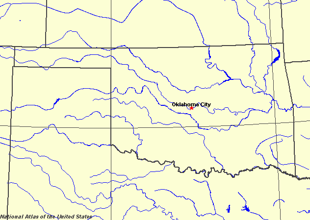
State rivers only. Download and print this to draw watershed boundaries or to put on river names.
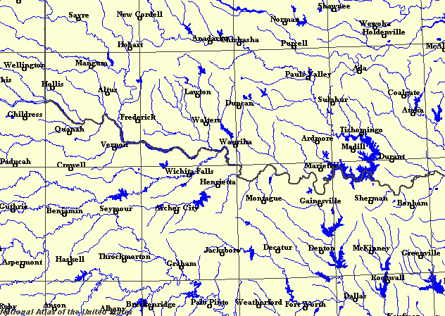
Enlarged view of part of the state river system. You can select other parts and your local area from the National Atlas (see below).
|
|
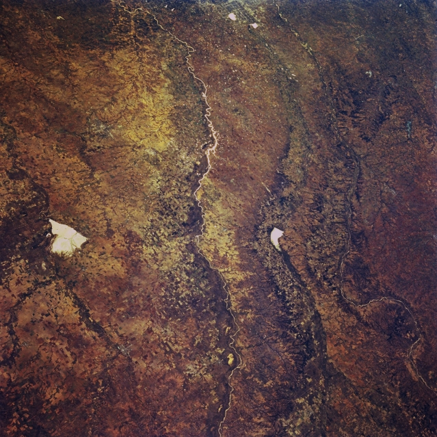
Great Salt Plains Lake, Cimarron River, and Canadian River, Oklahoma. This southeast-looking, low-oblique, panoramic photograph of west-central Oklahoma shows three river systems that move generally west to east through the stateŃthe Cimarron River; to its south the North Canadian River, which flows through Canton Lake (right of center) eastward into Oklahoma City; and farthest south, the South Canadian River, which flows generally southeastward. Situated on the Salt Fork of the Arkansas River, bright, white Great Salt Plains Lake [10 miles (16 kilometres) long], sometimes dry in the late summer and fall, is used for flood control and conservation.
Oklahoma (named for the native American words for red people) stretches between the Great Plains and the Coastal Plains, sloping down almost 1000 m (3000 feet). Its southern boundary with Texas is formed by the meanders of the Red River. Tributaries of the Red River are the Washita, Blue, Kiamichi, Elm Fork, North Fork, Prairie Dog Town Fork, and Salt Fork of the Red River. The Canadian River flows eastward through the middle of the state. The northern part of the state is drained by the Arkansas. The Canadian and Arkansas meet near the eastern boundary of the state. Other tributaries of the Arkansas are the Verdigris, Neosho (Grand), Cimarron, and Illinois rivers All of these rivers are tributaries of the Mississippi, and all are prone to flood, both in spring and in summer. As a result, major flood control works have been built. These have created some two hundred lakes in Oklahoma. At the same time, the waters are used for irrigation and hydroelectricity. The largest lakes are in the east. The Eufaula Reservoir on the Canadian River is the largest lake in the state, covering more than 40,000 hectares (100,000 acres) The next largest is the Lake O' the Cherokees (Grand Lake) in the north east and Lake Texacoma on the Red River. The chances of flooding, and the wide floodplains have deterred people from building too close, and the main cities of Oklahoma City and Tulsa, while being located at crossing points of rivers, keep a respectful distance. Recent flood control has allowed development to spread toward the rivers.
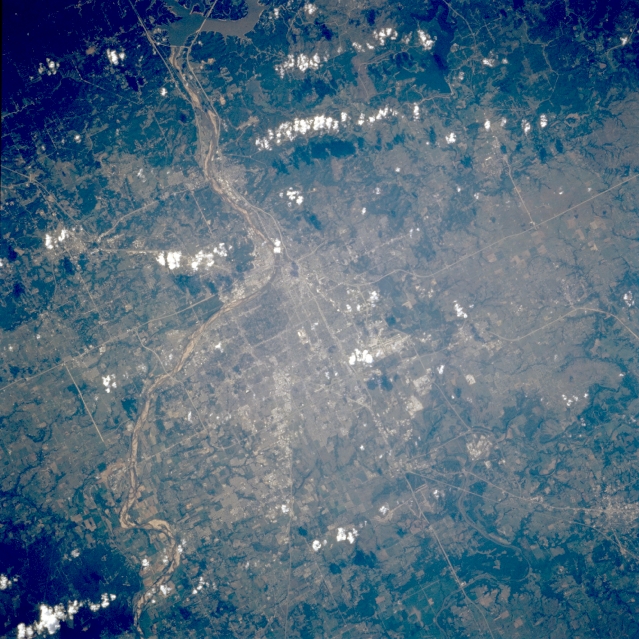
Tulsa and Arkansas River, Oklahoma, U.S.A. Visible in this west-northwest-looking, low-oblique photograph is Tulsa, settled in 1832 as part of a Creek Indian village and now OklahomaŐs second largest city. Located mostly north of the southeast-flowing Arkansas River, Tulsa is a major financial, commercial, and transportation center of a major oil producing region. Other products include aircraft and aircraft components, electronic components, oil-field equipment, machinery, cement, glass, canned goods, gas and oil wells, oil refineries, and coal mines. With the opening of the McClellan-Kerr Waterway in 1971, a 440-mile (708-kilometer) system linking Tulsa with the Mississippi River and the Gulf of Mexico, Tulsa became an inland port. |