|
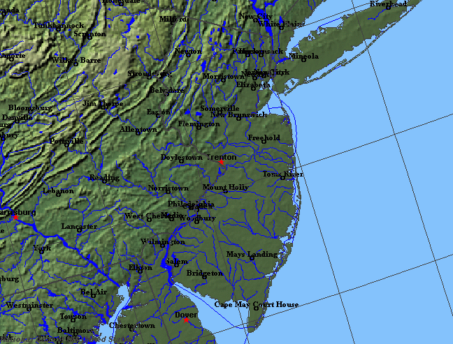
State rivers in their landscape. Notice that rivers broadly flow east (if they flow between ranges of hills) or south if they cut through them.
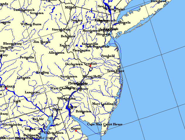
State rivers only. Download and print this to draw watershed boundaries or to put on river names.
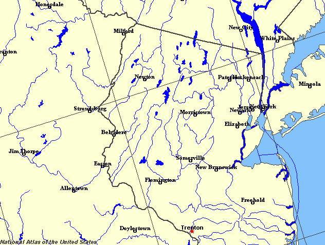
Enlarged view of part of the state river system. You can select other parts and your local area from the National Atlas (see below).
|
|
New Jersey lies between the Atlantic Ocean and the Hudson and Delaware rivers. New Jersey contains big contrasts in its landscape, and therefore in its rivers and lakes. The northern part of the state is part of the Appalachian Mountains whose hard, crystalline rocks trend from northeast to southwest. In this rugged landscape lie most of the state's 800 lakes and ponds including Lake Hopatcong, Lake Mohawk and Greenwood Lake. To the southeast of the mountains are the folded sedimentary rocks, long eroded so that the area now consists of ridges where the harder rocks occur, separated by valleys where the softer rocks outcrop. It might be supposed that the high ridges of this landscape determine the direction in which the rivers flow. And although this is true for the tributaries of the great rivers, it is not true for the main rivers themselves. Instead of flowing with the grain of the land, both the Hudson and the Delaware cut right across the main ridges. In New Jersey, for example, the Delaware cuts through the Kittatinny Mountains to create the famous Delaware Water Gap. To understand how the water gaps occurred, you have to imagine a scenery long since eroded away. In former times, perhaps tens of millions of years ago, the landsurface did not show the ridges that can be seen today. Instead the rocks that existed on the surface were more even and sloped southeastward. This was the time when the present rivers established their drainage pattern. Since this time the rivers have cut down into the mountains and hills and completely stripped the former rocks away. As they cut deeper, so the rivers exposed the hard and soft folded rocks below. The tributaries were able to erode the softer rocks more quickly than the harder, so that, in time, the Ridge and Valley relief of the Appalachians were evolved. Through all of this change, the power of the main rivers was enough to allow them to continue to cut their courses along their original paths. Nonetheless, the hard rocks were difficult to cut through and so the rivers were able only to cut gorges: there was no sufficient energy left to widen them into valleys. The main rivers of New Jersey are the Delaware, Hudson, Passaic, Raritan and Hackensack. These have all been important in the development of the state. For example, the Passiac Falls were the site of early water-powered industry and the reason for the early growth of Paterson during the Industrial Revolution.
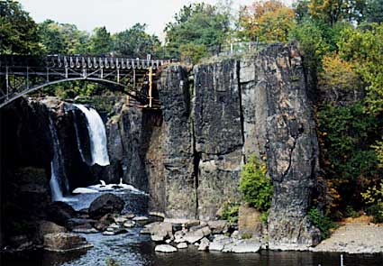
The falls at Paterson.Trenton, the state capital, was built on a dry river terrace close to the Delaware at a point where the river could be crossed. The fort guarded both the crossing and the river route, and was an important strategic prize in the Revolutionary War. Perhaps most important of all, has been the location of New Jersey close to the estuary of the Hudson River, for New Jersey has probably benefited far more than New York from this shared river. The reason for this is that the flat, once marshy and muddy land of the estuary is on the New Jersey side. On the New York side the land is of hard rocks. As industrialization proceeded, and more and more goods came into the ports of the east coast, so this former marshland could be used for docks, railroad goods yards and factories. On the New York side, all they could do was to build out piers into the river. There was little room for industry. As a result, much of the industry of the metropolis that includes New York City actually occurs in Newark and neighbouring cities in New Jersey. |