|
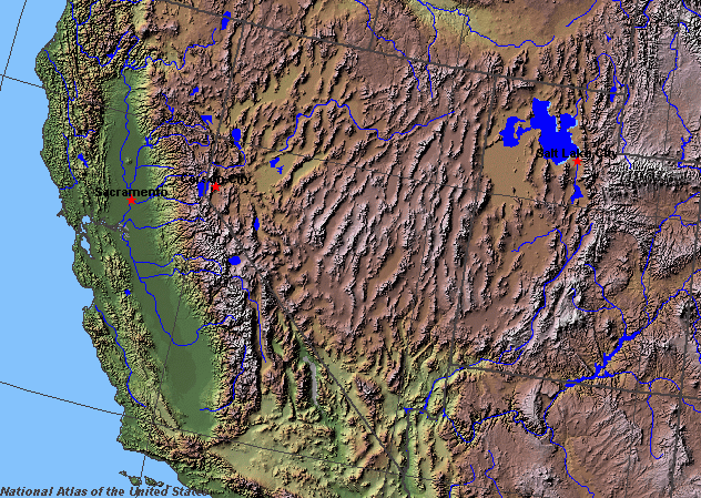
State rivers in their landscape. Notice that rivers broadly flow east but that many are discontinuous or have intermittent flows. There are also many salt lakes.
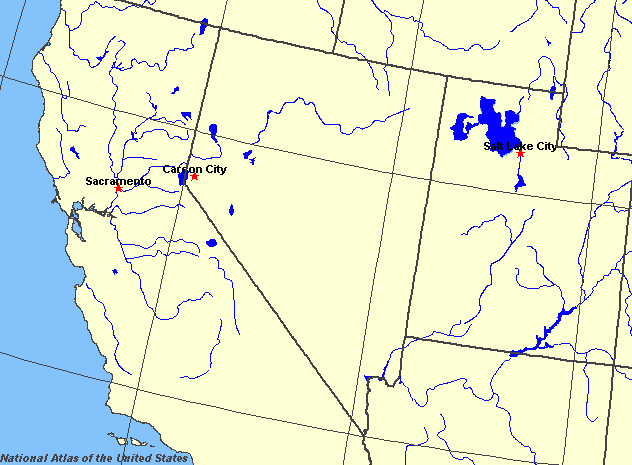
State rivers only. Download and print this to draw watershed boundaries or to put on river names.
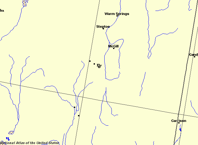
Enlarged view of part of the state river system. You can select other parts and your local area from the National Atlas (see below).
|
|
Nevada is in part of the United States that is characterized as desert. Traditionally, people have settled where there are rivers or natural springs. There are a number of rivers whose waters can be used for irrigation. The Colorado, Truckee, Carson, and Humboldt rivers are the chief ones.
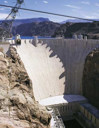
The Hoover dam near Boulder City.
Nevada chiefly lies in the Great Basin region of the United States, with most of the southern remainder being in the region known as Basin and Range. Both regions comprise north-south oriented downfaulted valleys and upfaulted mountain ranges. The mountain ranges create rainshadow conditions that make the valleys true rainshadow deserts. Exceptions to this are the upland areas around Lake Tahoe on the California border and near the border with Idaho. Much of the drainage in the state flows from mountain ranges during torrential rainstorms and creates flash floods which send cascades of water, mud and boulders down the steep-sided canyons to fill temporary lakes in the nearby basins. Fierce heat causes rapid evaporation of these temporary lakes, and much water sinks into the sandy surface. The salty beds of these temporary lakes often shine white in sunlight and are called playas. Only a few permanent rivers flow. The longest permanent river in the state is the Humboldt, whose headwaters are in the northeast near Wells. This river finally stops in the playa called the Humboldt Sink. The Truckee, Carson, and Walker rise in the Sierra Nevada and flow into desert basins: the Truckee into Pyramid Lake, the Carson into Carson Sink, and the Walker into Walker Lake. All of these rivers have very low flows except during spring snowmelt and their shallow, wide beds are covered with coarse sand and boulders. In the extreme north of the state, the Owyhee River flows northward to the Snake River in Idaho. The main natural lakes are on the edges of the Sierra Nevada. They are Lake Tahoe, Pyramid and Walker lakes. The largest lake of all is Lake Mead, a reservoir produced by the construction of the Hoover Dam on the Colorado at Boulder in the 1930s. Another major reservoir is Lake Mohave, which has formed behind the Davis Dam. |