|
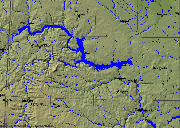
State rivers in their landscape. Notice that rivers broadly flow south and southeast across the state from the Rockies.
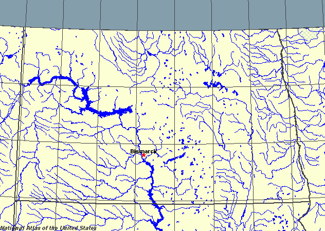
State rivers only. Download and print this to draw watershed boundaries or to put on river names.
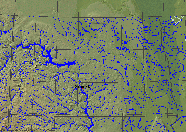
Enlarged view of part of the state river system. You can select other parts and your local area from the National Atlas (see below).
|
|
North Dakota is in the northern United States in the upper part of the Great Plains region that runs to the east of the Rocky Mountains. The Rocky Mountains form a natural barrier to the west and prevent much moisture from reaching the state. North Dakota is in a rainshadow area, naturally an area of short grasslands. During the winter it is very cold and dry and all of the rivers are frozen. Snowmelt from the Rockies provides an excess of moisture in spring, when the rivers often flood over still-frozen ground. The main rains are in the summer, when hot moist air flows up from the Gulf of Mexico, bringing thunderstorms. At these times flash floods are likely. North Dakota contains three different kinds of landscape. The Red River Valley lies in the east, forming the boundary with Minnesota. The valley meanders across a wide flat plain, the remains of a glacial lake formed at the end of the Ice Age. The extreme southwest has not been glaciated, however, and in this area the badlands occur in which the bedrock comes to the surface and is not buried beneath glacial debris. Famous Badlands National Park is in this part of the state. The south and southwest of the state is drained by the Missouri River. This part of the state is called the Missouri Slope. The Little Missouri flows northward from South Dakota, entering the Missouri in Lake Sakakawea.
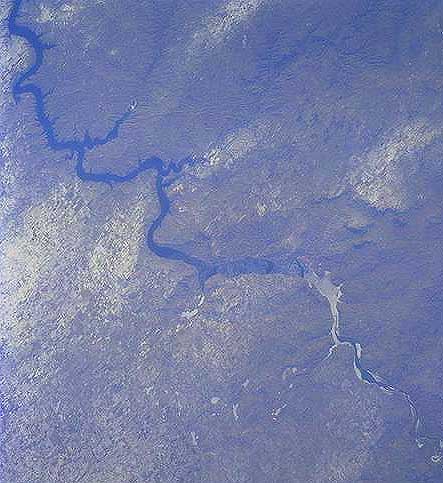
The Missouri. The view looks south.The Missouri flows southeasterly, entering North Dakota from Montana and leaving to flow into South Dakota. Bismark, the state capital, lies on a crossing point of the Missouri. The Red River flows from south to north, carrying water not to the Mississippi, but to the Hudson Bay. The city of Fargo lies at a crossing point of the Red River. Devils Lake is a large natural lake, dammed by a glacial moraine. Most of the small lakes are ponds formed in the natural depressions left behind after the retreat of the ice.
|