|
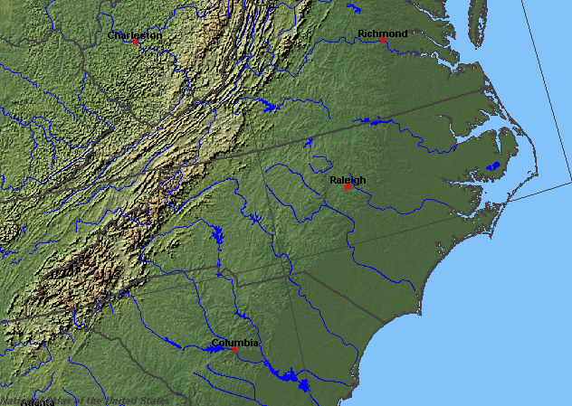
State rivers in their landscape. Notice that rivers broadly flow east or west across the state from the Appalachians.
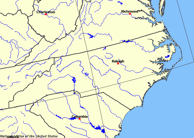
State rivers only. Download and print this to draw watershed boundaries or to put on river names.
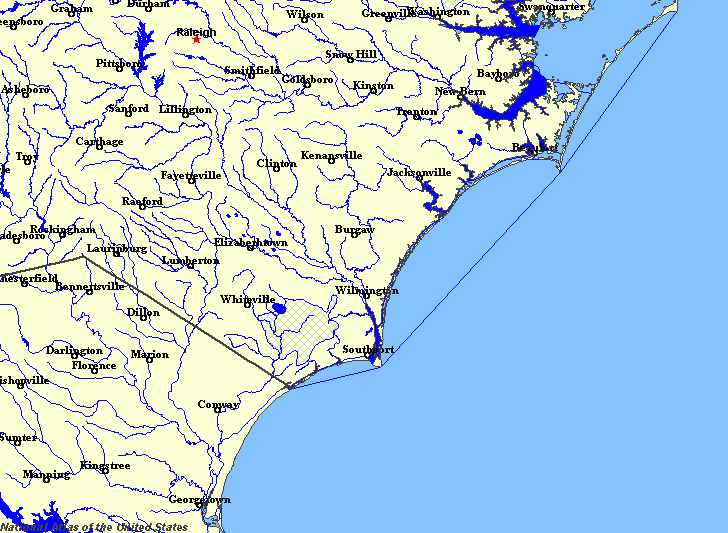
Enlarged view of part of the state river system. You can select other parts and your local area from the National Atlas (see below).
|
|
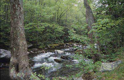
Mountain Streams in Great Smoky Mountains NP.
North Carolina stretches from the Atlantic coast and its plains, up through the hill-lands known as the Piedmont to the Appalachian Mountains, the Blue Ridge country and Great Smoky Mountains. Many of the rivers - the Yadkin-Pee Dee, Catawba and Broad - flow eastward from the flanks of the Appalachians in a generally southeasterly direction. These tend to drain to the ocean through South Carolina. A further group of rivers - French Broad, Little Tennessee, Hiwassee, Pigeon, New Elk, and Watauga rivers - drain the western slopes of the Great Smoky Mountains and so flow off to the Mississippi system. Only the New River flows northward into the Ohio River. Finally, some rivers - Chowan, Roanoke, Tar-Pamlico, Neuse-Trent and Cape Fear - have their sources on the Piedmont and then flow a relatively short distance to the ocean.
New River.
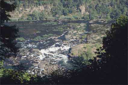
Separating the hills and mountains in the west from the plains in the east lies a break in the landscape called the Fall Line. Here rivers form steep courses and waterfalls are common. The Fall Line marks the uppermost point of navigation for many rivers. With a limit to the use of boats, meaning that goods had to be taken onto land-based means of transport, and with the swift rivers providing first direct water power for industry, and not hydro-electric power, the Fall Line was a major locating factor for the siting and growth of many settlements including all of the state's largest cities The plains contain large areas where the water table is close to the surface. As a result, much of the plainlands is swamp, the largest of the swamplands being the Great Dismal Swamp in the north of the state. Places such as Gatesville, Washington, New Bern, Jacksonville, and Wilmington mark the tidewater limit on the rivers. The largest natural lakes are in the Coastal Plain. The Piedmont has only reservoirs, produced as the result of damming the rivers for power and irrigation. They include Lake Norman on the Catawba, Kerr Reservoir on the Roanoke, Falls Lake on the Neuse, and Fontana Lake on the Little Tennessee. |