|
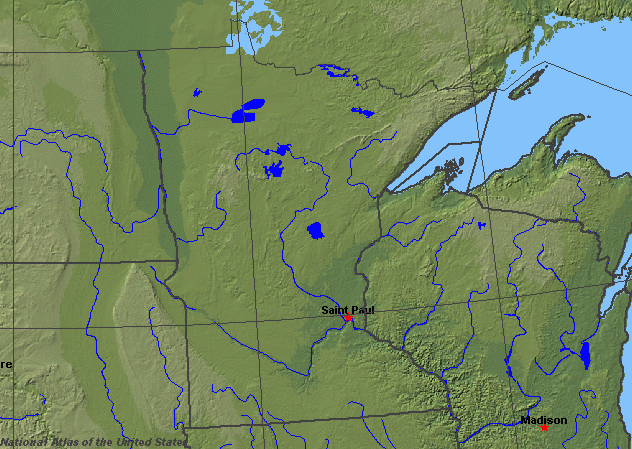
State rivers in their landscape. Notice that rivers broadly flow south across the state toward the Mississippi.
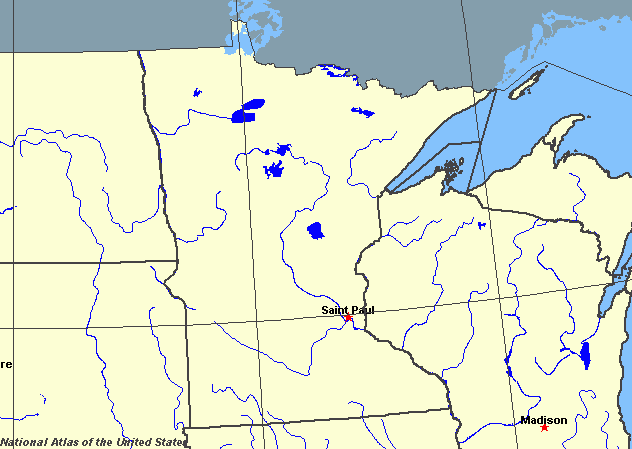
State rivers only. Download and print this to draw watershed boundaries or to put on river names.
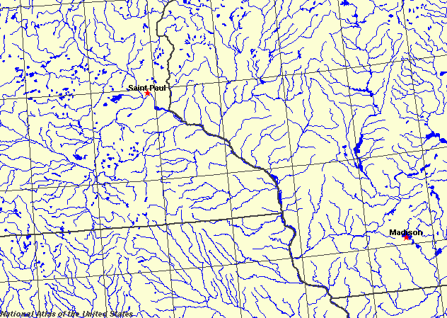
Enlarged view of part of the state river system. You can select other parts and your local area from the National Atlas (see below).
|
|
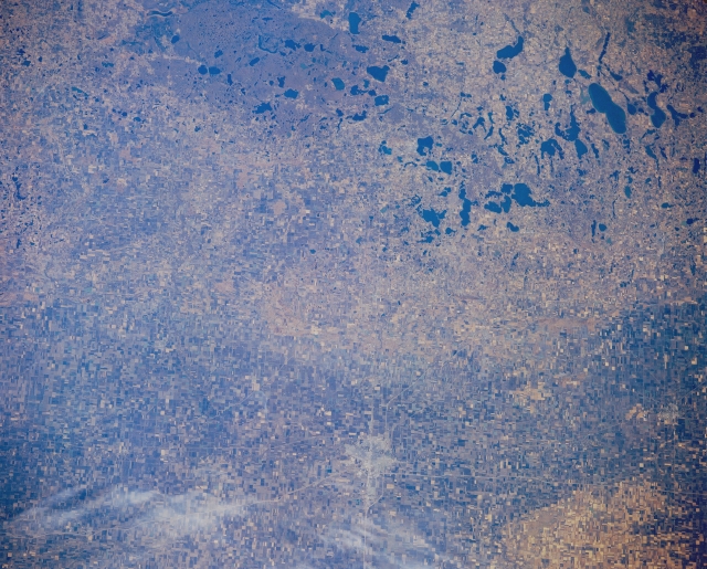
Lakes Region, West-Central Minnesota The Red River Valley of eastern North Dakota and western Minnesota (lower portion of photograph) and the lakes region of west-central Minnesota (upper portion of photograph) appear in this east-looking, low-oblique photograph. The Red River Valley, once the floor of glacial Lake Agassiz, is covered with numerous small agricultural field patterns. The lakes were formed as glaciers from the last ice age retreated northward 10 000 years ago. Fargo, North Dakota, and Moorhead, Minnesota, appear as a gray smudge (near bottom center). The forested White Earth Indian Reservation (top center) lies north of Detroit Lakes (not discernible).Minnesota lies to the west of Lake Superior, and the Mississippi and St Croix rivers. The Rainy River, which flows from Lake of the Woods forms much of the northern boundary with Ontario. The western boundary is, in part, formed by the Red River. The shape of the land surface is almost entirely the result of deposition by a succession of ice sheets during the last Ice Age. The central hill and lake region (Chippewa National Forest) is the start of the drainage for much of the state. Parts of the old continental basement rocks rise to the surface here and form the main divide, sending rivers west and north through the Red River to Hudson Bay; east to the Great Lakes; and southward as the Mississippi River. Thus Minnesota is the origin of many of the continent's most important river systems. The Mississippi is by far the largest and most important river. In the east, tributaries of the Mississippi include the Crow Wing, Rum, Minnesota, St. Croix, Cannon, Zumbro, and Root. In the center of the state the Minnesota River system includes the tributaries Blue Earth, Cottonwood, Redwood, Chippewa, Pomme de Terre, and Lac qui Parle. In the north the Red River flows to the Great Lakes. The tributaries include the Red Lake and Wild Rice. The irregular hummocky landscape left by the retreating ice sheets have made the beds of about 5000 lakes. They total about 12,300 square kilometres (4700 square miles) in surface area. The largest is Red Lake in the north, with a surface area of 1100 square kilometres (440 square miles). The most famous is Lake Itasca because this is the source of the Mississippi. Of the many waterfalls in Minnesota, the most famous are the Minnehaha Falls which drop 16 m (53 feet) in Minneapolis, the International High Falls, which drop 41 m (133 feet) lie on the Minnesota/Ontario border on the Red River and the Cascade Falls, which drop 38 m (24 feet) on the Cascade River.
|