|
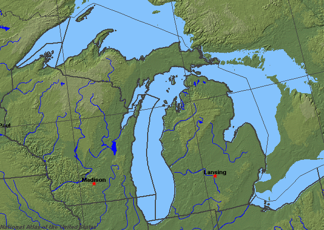
State rivers in their landscape. Notice that rivers broadly flow toward each of the Great Lakes.
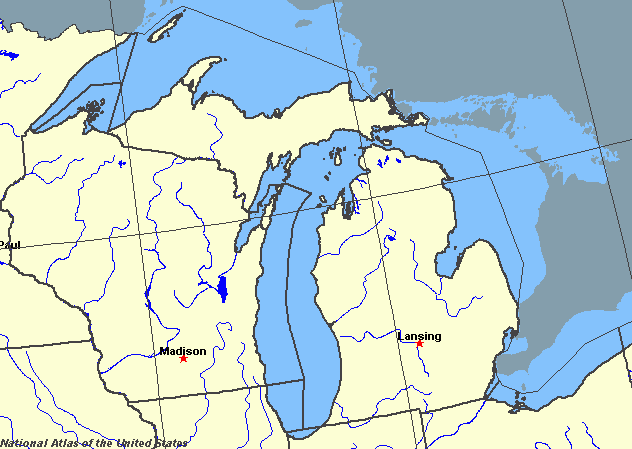
State rivers only. Download and print this to draw watershed boundaries or to put on river names.
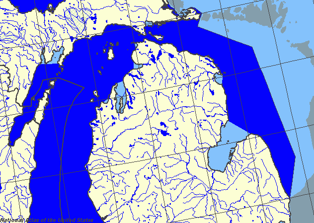
Enlarged view of part of the state river system. You can select other parts and your local area from the National Atlas (see below).
|
|
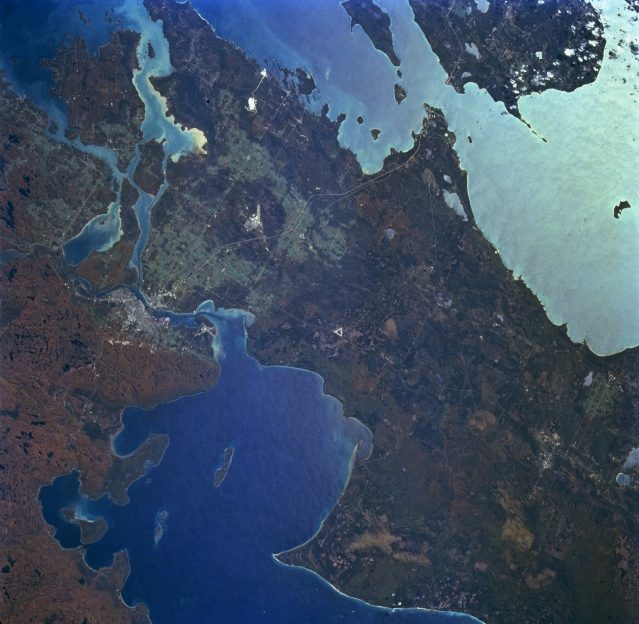
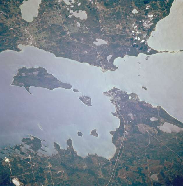
Saint Marys River and Sault Sainte Marie, Michigan, U.S.A. and Canada Part of the Saint Lawrence Seaway, sediment-laden Saint Marys River, and the Michigan and Canadian cities of Sault Sainte Marie are featured in this south-looking, low-oblique, panoramic photograph. Saint Marys River, 63 miles (101 kilometres) long, drains Whitefish Bay on Lake Superior (bottom left and center), flows past Sault Sainte Marie where it descends 20 feet (6 m), passes Sugar Lake and Neebish Island west of Saint Joseph Island (upper left), and drains into northern Lake Huron through the De Tour Passage (not visible). Saint Marys River, part of the Canada-U.S. border and frozen for approximately 5 months of each year, is one of the world's busiest waterways with locks located near Sault Sainte Marie. The Straits of Mackinac and northern Lake Michigan are visible in sunglint (upper right).
Michigan, the Mid-West state that has borders with four of the five Great Lakes of North America, forms two major peninsulas between Lakes Michigan, Superior, Huron and Erie. Since 1957 the Upper and Lower peninsulas, which are separated by the Straits of Mackinac, have been connected by the Mackinac Bridge. The land is largely flat, being formed on an ancient core of the North American continent, it was scoured by glaciers during the last Ice Age, only later to be covered in glacial debris.The weight of ice also caused the whole region to warp downward, thus partly resulting in the formation of the Great Lake as the ice finally melted away. The retreating ice also created thousands of small undrained depressions and it is these that give northern Michigan its 11,000 lakes, together with many more swamps, and marshes. None of the rivers in Michigan are large and all of them are short. The largest rivers in terms of volume per second are those that connect the Great Lakes, for example the St. Marys River, which marks the border with the Canadian province of Ontario and through which Lake Superior drains. Part of the underlying rock basement is revealed at Sault Ste Marie where bands of hard rock form the rapids that separate the two lakes. The rapids are by-passed by the Soo Lock canals. In a similar way, Lake Huron drains into Lake Erie through the St. Clair River, Lake St. Clair, and the Detroit River. The rivers also mark the border between Lower Michigan and Ontario. In the southern peninsula a region of glacial moraine makes a kind of tableland that separates rivers flowing west, north and east. The main river system is formed by the Saginaw and its tributaries, the Shiawassee, the Tittabawassee, and the Cass. Together they make a drainage basin with an area of 17,000 square kilometres (6500 square miles). The Saginaw drains into Lake Huron. Lake Michigan Lake Michigan is the only one of the five Great lakes that lies entirely within the United States. It is 495 kilometres (307 miles) long and 190 kilometres (120 miles) wide. The surface area is 58,000 square kilometres (22,500 square miles). The deepest part of the lake is nearly 300 m (9300 feet) below the surface. The lake surface is about 177 m (580 feet) above sea level. Lake Michigan drains into Lake Huron. The lake has a rather small drainage basin, being only twice the size of the lake itself. As a result, there are no major rivers feeding the lake. Lake Michigan has suffered from pollution caused by the cities and industries particularly in the south, and this has resulted in a campaign to try to clean it up. Lake Michigan was first explored by the French until the British became the colonial power in 1796. Commerce on the lake increased when the Erie Canal was opened in the late 19th century and when the lake was connected to the Mississippi system through the link from the Chicago River. Lake Michigan was connected to the St Lawrence Seaway in 1959 and this has resulted in a large increase in trade across the lake. The surface of the lake is frozen from about mid December to mid April. The largest city on the lake is Chicago (in Illinois).
Straits of Mackinac, Michigan, U.S.A. An important link in the Saint Lawrence Seaway, the Straits of Mackinac, 4 miles (6 kilometres) wide at their narrowest point, are apparent in this south-looking, low-oblique, sunglint-reflected photograph. The Mackinac Straits Bridge (barely discernible), third longest suspension bridge [3800 feet (1159 m) long] in the world, opened in 1957. Three islands are readily visibleŃRound Island, the smallest; Mackinac; and Boise Blanc, the largest of the three, south of which lies the city of Cheboygan. Interstate Highway 75 traverses north-south. |