|
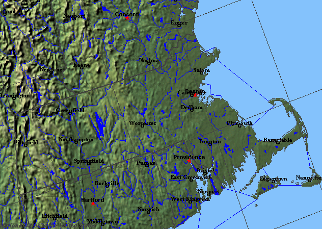
State rivers in their landscape. Notice that rivers broadly flow southeast across the state following the lines of the Appalachian hills. Many small lakes are the result of water filling glacially scoured hollows.
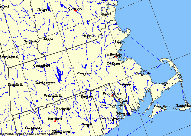
State rivers only. Download and print this to draw watershed boundaries or to put on river names.
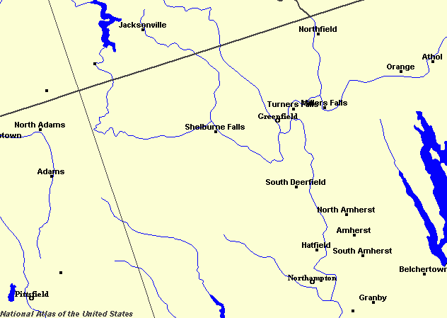
Enlarged view of part of the state river system. You can select other parts and your local area from the National Atlas (see below).
|
|
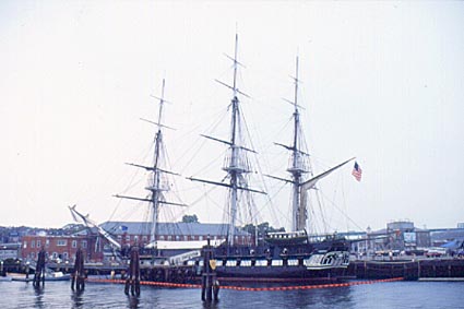
The Charles River at Boston.
Massachusetts was originally colonized around Massachusetts Bay, the drowned river valley or estuary of the Charles River. The landscape of Massachusetts changes from the narrow coastal plain in the south through the hill ranges of the northeast, to the Appalachian ranges in the center and west. Much of the area was glaciated. Erosion stripped soils from the uplands. By contrast, irregular deposition of debris in the east and near the coast in particular, has provided the setting for many small lakes. In the far west, the Taconic Mountains form the highest point in the state. On their eastern flank is the narrow Berkshire Valley, drained to the south by the Housatonic River, which finally flows into Long Island Sound and to the north by the Hoosic River, which is a tributary of the Hudson. The uplands of the western half of the state are cut in two by the broad Connecticut River valley, part of the largest river system in Massachusetts. The Connecticut River flows southward through the state from its headwaters in New Hampshire and Vermont to the Atlantic (Long Island Sound) in Connecticut. The Connecticut valley is narrow at its northern border, but widens out to the south around Springfield. The Connecticut River has both stepped sides and many rapids. All of these are created as the river cuts through rocks of varied resistance. The main tributaries are the Deerfield and Westfield rivers to the west and the Millers and Chicopee rivers to the east. The largest reservoir in Connecticut, the Quabbin Reservoir, has been formed by a dam on the Swift River, a headstream of the Chicopee. The land to the east of the Connecticut system is less rugged than the west and features isolated mountains called monadnocks. Rivers flowing eastward from this area drain into the Atlantic ocean to create numerous coves. The main river is the Merrimack, which begins in New Hampshire. The Nashua and the Concord are the main tributaries of the Merrimack. Farther south the land is drained by the Charles River, which reaches the ocean at Boston. The Taunton River drains the southernmost part of the state, flowing into Mount Hope Bay. Massachusetts was one of the earliest states to be colonized and at this time sheltered harbours and water power were of vital importance. As a result, the rivers have played a crucial part in the location of many cities and the development of the state. The earliest settlements were founded in the many sheltered harbours (which are all drowned river valleys) that exist along the coast. Boston, Gloucester, Fall River, New Bedford, Lynn, Marblehead, Salem, Newburyport, Plymouth, and Provincetown are all examples. Most early factories used direct water power and so were sited along rivers. Even today, when electricity is used for power, the rivers still play an important role through their use for generating hydro-electric power. |