|
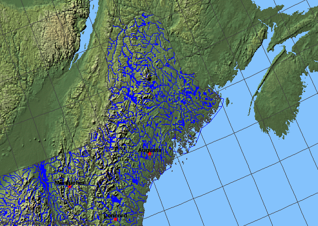
State rivers in their landscape. Notice that rivers broadly flow east and southeast across the state from the Appalachians.
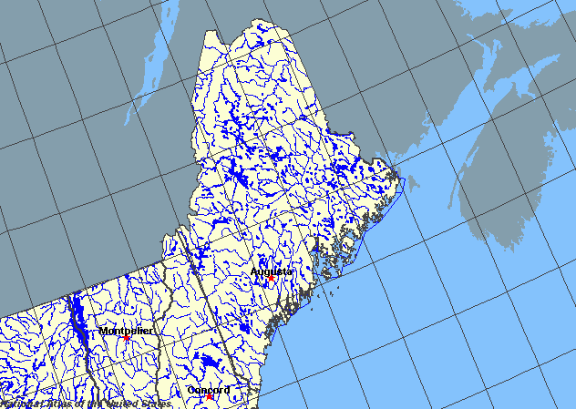
State rivers only. Download and print this to draw watershed boundaries or to put on river names.
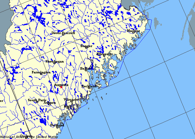
Enlarged view of part of the state river system. You can select other parts and your local area from the National Atlas (see below).
|
|
Maine is the largest of the New England states. The largest rivers in Maine are the St John, the Penobscot, the Androscoggin, the Kennebec, and the Saco. Each of these rivers provides access to the interior and has been a means by which colonization took place. The rivers have also provided power for early industries. The St John does not flow to the sea in Maine. Instead, it forms part of the border with Canada and then flows into New Brunswick. The St Croix forms another part of this northern boundary. The southern border of the state is formed by the Piscataqua River.
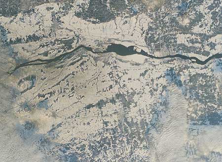
The Penobscot at Bangor in winter.
There are many lakes in Maine, mostly in the north and all of glacial origin. They generally have a northwest southeasterly orientation, reflecting the direction that the scouring ice moved during the Ice Age. The largest lakes are Moosehead, (area: 300 square kilometres (120 square miles)), and Sebago, (area: 120 square kilometres (45 square miles)). During the Ice Age, sea level fell and the rivers cut deeply into the floors of their valleys. Since the Ice Age the sea level has risen again, flooding the lower ends of the valleys to create the estuaries such as Penobscot and numerous coastal inlets. The Edwards Dam on the Kennebec River was removed beginning July 1 1999. This is part of a river restoration effort to allow the free flow of the river for the first time in 160 years. Edwards Dam once powered a textile mill. The textile mill no longer uses the river water but the effect of the dam has been to prevent Atlantic salmon, sturgeon, shad, alewife, and river herring from reaching upstream spawning grounds. |