|
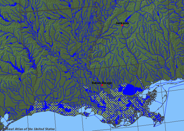
State rivers in their landscape. Notice that rivers broadly flow south to the Gulf or southeast toward the Mississippi across the state.
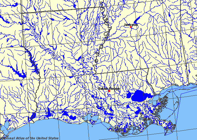
State rivers only. Download and print this to draw watershed boundaries or to put on river names.
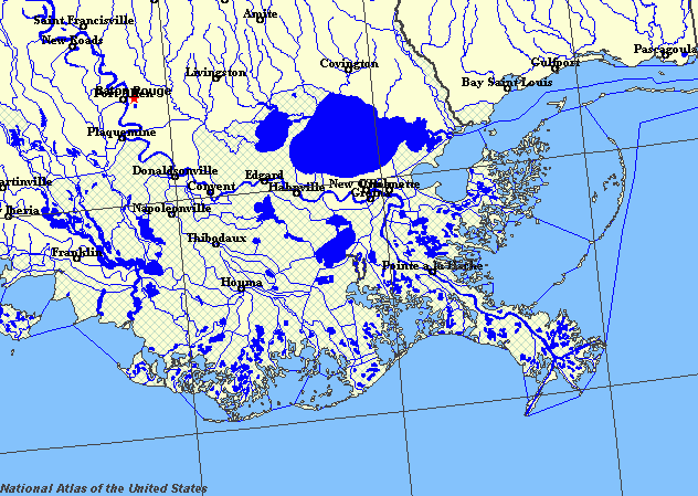
Enlarged view of part of the state river system. You can select other parts and your local area from the National Atlas (see below).
|
|
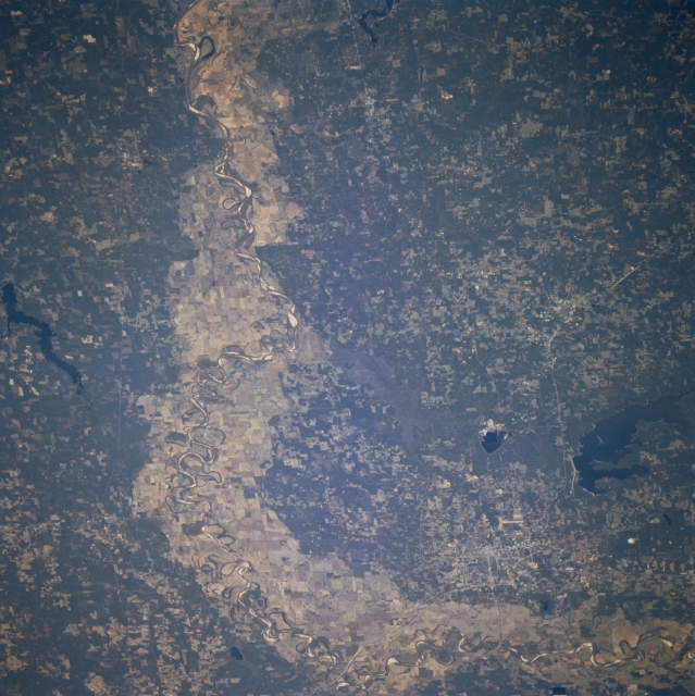
Red River Valley, Northwest Louisiana, U.S.A. The most dramatic feature of this south-looking photograph is the broad, largely cultivated floodplain of the Red River as it makes a 90-degree course change from east to south just east of Texarkana. Highly reflective sandbars, spaced randomly along the main channel of the river, allow it to be traced across the floodplain. Visible are large, dark Wright Patman Lake southwest of Texarkana and elongated Lake Erling in extreme southwestern Arkansas. Most of the landscape in this tristate area is gently rolling, verdant hills.
Louisiana is a low-lying state that lies astride the lower reaches of the Mississippi. It is the only state to have the Mississippi run through part of its territory rather than simply act as one of its borders. The western boundary of the state is marked by the Sabine River; the southeastern border is marked by the Pearl River. The other major rivers are the Red River and the Ouachita River. Much of the development of the south of the country has been due to the trade opportunities provided by the Mississippi, just as its original colonization by French and Spanish was due to easy access from the sea through the Mississippi. The state of Louisiana lies within the Gulf Coast plain, a lowland over which rivers can change course easily. Many of the pine-clad hills of the state are remnants of former beds of the rivers (river terraces).
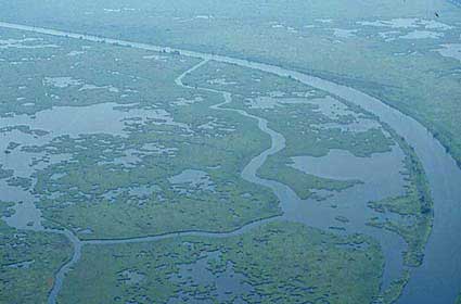
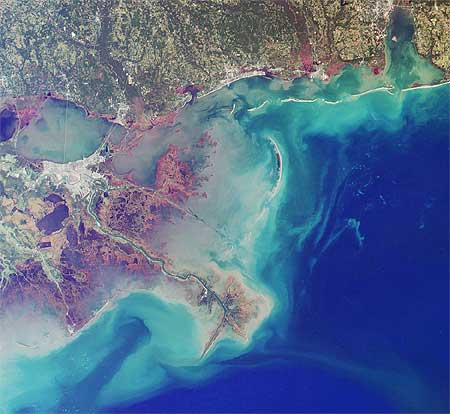
Coastal swampland.The Mississippi is very wide as it reaches the sea and its floodplain is criss-crossed with ancient channels and oxbow lakes. The border with the state of Mississippi is marked by some of the most extravagant meanders seen anywhere in the world. Many have been cut through in an attempt to make navigation less tortuous. The Corps of Engineers under General Ferguson undertook major works on the river in the 1930s without really understanding the implications of changing a major river. Cutting through numerous river loops, they straightened the river, but also increased the gradient, so that scouring took place in some areas and deposition in others. At first barges were not even powerful enough to cope with the faster flow of the river. The river has to be continually dredged, despite the attempts at improvement and the lower Mississippi is lined with concrete walls and groins in an attempt to hold its present position. Close to the sea, the delta of the Mississippi is an area of many channels and lakes and extensive swamps. Small river channels are called bayous in this part of the country.
New Orleans.
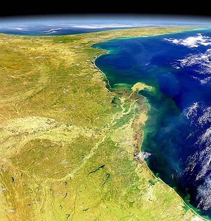
Mississippi delta and the Gulf Coast.
The Mississippi delta, showing the sediment plume that emerges into the Gulf of Mexico.
The floodplains of the major rivers are one of the main assets of the state, providing the soils on which former plantation crops were established and on which modern farming still thrives. Much of the coast is still marshland and has not been reclaimed. Major natural lakes by the coast include Lake Pontchartrain, between the Mississippi and Pearl rivers. West of the Mississippi lie Sabine Lake, Calcasieu Lake, Grand Lake and White Lake. The lakes and the rivers are connected by the intracoastal waterway. Flooding has always been a problem for such a low-lying state and many attempts have been made to remove the flood threat from New Orleans in particular. A number of floodways have been built on the lower Mississippi to help carry waters more quickly to the sea. These include the Atchafalaya Floodway and the Morganza and Bonnet Carre spillways. |