|
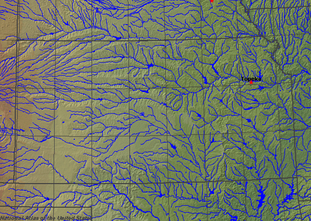
State rivers in their landscape. Notice that rivers broadly flow east across the state toward the Mississippi.
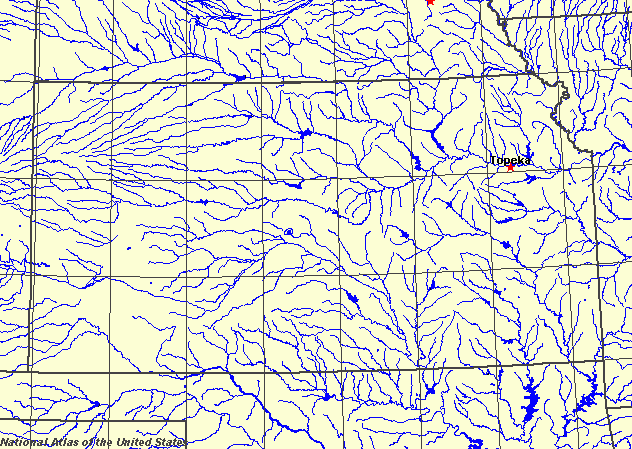
State rivers only. Download and print this to draw watershed boundaries or to put on river names.
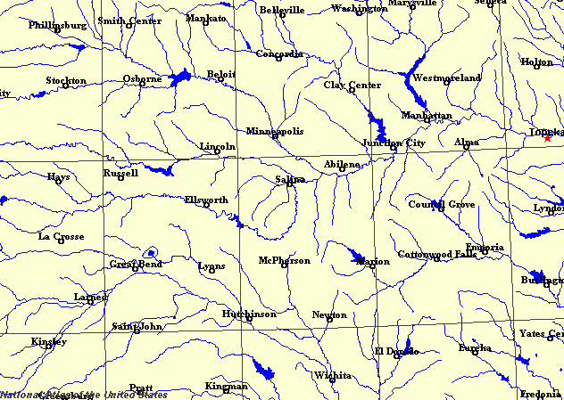
Enlarged view of part of the state river system. You can select other parts and your local area from the National Atlas (see below).
|
|
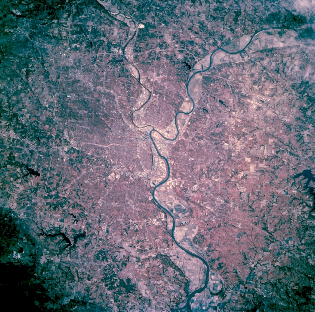
Kansas City, Missouri Kansas City, the second largest city in the state, is featured in this west-looking, low-oblique, color infrared photograph. The Missouri and Kansas Rivers travel eastward from the northwest and west, respectively. Kansas City is a major commercial, industrial, and transportation center in a rich agriculture and livestock producing area. The vivid reds identify many trees throughout the city.
Kansas, as the geographic center of the contiguous 48 states, lies at the junction of the prairies and the Great Plains to the west of the Missouri. All of the rivers flow eventually to the Mississippi. The largest river is the Missouri, which forms the northeastern border with the State of Missouri. Rivers in the north flow eastward across plains that gradually fall from west to east. The main river in the north is the 280 kilometres (170 miles) - long Kansas River which drains directly into the Missouri. It is formed by the junction of the Republican and Smoky Hill rivers at Junction City. It flows into the Missouri River at Kansas City. Tributaries of the Kansas include the Big Blue, the Republican, the Solomon, the Saline, the Smoky Hill, the Black Vermillion, and the Delaware. The Marais des Cygnes, which flows through the eastern part of the state, also drains directly into the Missouri. The main river in the southern part of the state is the Arkansas, which makes a great northerly loop across the state, entering in the southwest, flowing northeast to Great Bend, then southeast through Wichita. Tributaries of the Arkansas include the Cimarron, the Verdigris, and the Neosho.
All of the rivers and tributaries in the Great Plains have wide, shallow cottonwood tree-lined channels and sandy beds. None of them is navigable. Many are liable to flood in spring from snowmelt and in summer after heavy thunderstorm rain. Their wide floodplains contain rapidly-changing river channels and many show good examples of meander cut-offs and oxbow lakes. The devastating droughts of the Dust Bowl times in the 1930s, combined with the frequent floods have caused a spate of dam building. Many rivers have been dammed to help with flood control and also to provide water supplies, both for irrigation and public water supplies. The largest reservoirs are Wilson Lake, Tuttle Creek Lake, Perry Lake, and Milford Lake in the north and Chepey Reservoir, Marion Lake, El Dorado Lake, and the John Redmond reservoir in the south. Below the surface lies part of a very large limestone aquifer. This is used for irrigation water, but, as in other parts of the Great Plains, the Ogallala aquifer, is being drained faster than in can be replenished. |