|
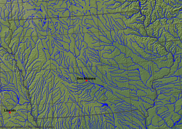
State rivers in their landscape. Notice that rivers broadly flow south across the state toward the Mississippi.
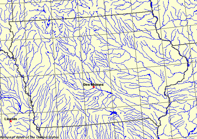
State rivers only. Download and print this to draw watershed boundaries or to put on river names.
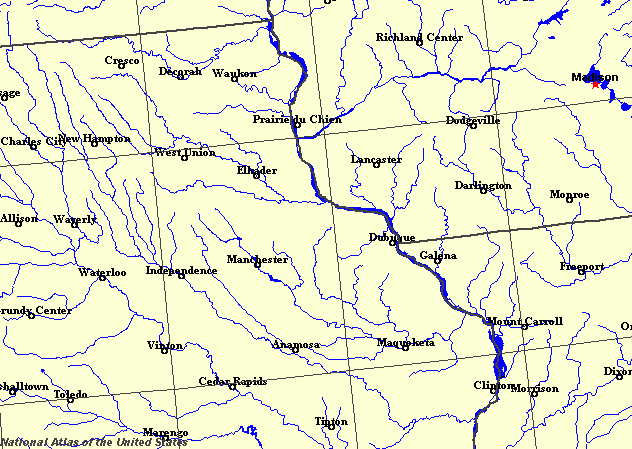
Enlarged view of part of the state river system. You can select other parts and your local area from the National Atlas (see below).
|
|
Iowa, a prairie state in the middle of the United states, lies between two of America's greatest river systems, the Mississippi, which forms the eastern boundary, and the Missouri / Big Sioux, which form the western boundary. The Des Moines River flows diagonally across the state, from north west to south east, joining the Mississippi in the southeastern corner of the state. It is, however, not a navigable river. The state was named after the Iowa River, itself named for the tribe of Native Americans who used to live in the Iowa River basin. The two rivers are navigable and acted as major arteries of exploration, both for the original explorers such as Lewis and Clark and for the later pioneers following the westward trails.
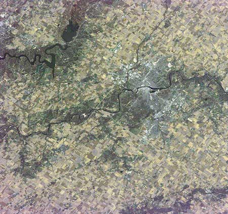
Cedar Rapids Iowa.The once grass-covered and now farmed landscape of the prairies was formed by advancing ice sheets during the last Ice Age. As the ice sheets melted down, so they left behind great spreads of material masking the original landscape. As a result, Iowa is now a level country. However, the soft material underlying its soils is readily eroded, and so even though it is flat, where rivers flow, they have easily cut steep-sided, although shallow valleys. In these better watered parts of the landscape, woodlands still thrive. In western Iowa, high bluffs, made up of loess (windblown material of ice age origin), make the edges of the floodplains along the Missouri River. The only influence of solid rock is in the northeast, where limestone and sandstone are close to the surface. Here the river valleys are narrow with steep sides, with steep slopes leading down to the Mississippi. The natural divide in the state is toward the west about half way between Des Moines and Omaha. Rivers to the east of this north-south line flow to the Mississippi, whereas those to the west flow to the Missouri (and later reach the Mississippi). The Des Moines River, whose headwaters lie in Minnesota, is 800 kilometres (500 miles) long. Its drainage basin covers a quarter of the area of the state. In eastern Iowa flow the Turkey, the Wapsipinicon, the Iowa, and the Skunk. All of these rivers cut into limestone bedrock and their valleys are in places marked by tall cliffs. The flow of the smaller rivers in Iowa follows the seasons, being greatest in spring after the snowmelt, and dwindling to very low flows by the late summer and continuing that way until they freeze over for the winter. In western Iowa flow the Floyd, Little Sioux, Boyer, and Nishnabotna. None of these rivers cut down to bedrock. There are few natural lakes in the state. The largest are Spirit Lake and West Okoboji and East Okoboji lakes. The water supply needs of the state are met by reservoirs such as Coralville Reservoir on the Iowa River, Rathbun Reservoir on the Chariton River, and Red Rock Reservoir on the Des Moines. |