|
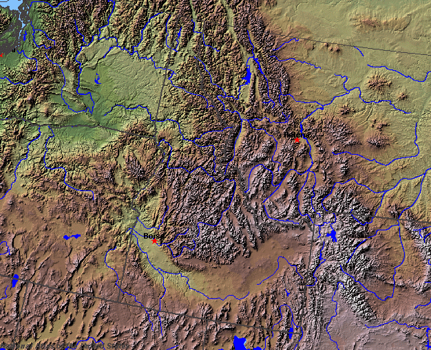
State rivers in their landscape. Notice that the rivers essentially flow west, but the many twists and turns are produced by the obstruction of the mountain ranges.
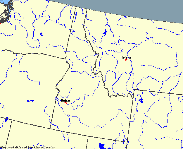
State rivers only. Download and print this to draw watershed boundaries or to put on river names.
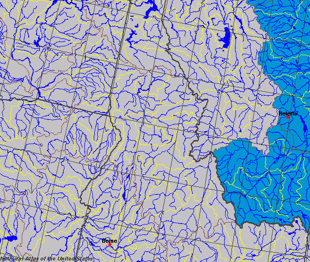
Enlarged view of part of the state river system. You can select other parts and your local area from the National Atlas (see below).
|
|
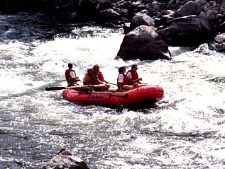
White Water Rafting.Idaho lies within the Rocky Mountains and stretches westward to the Columbia Plateau, and the Great Basin of the Basin and Range Province. All of the rivers in the state except for the Bear River are tributaries of the Columbia River whose waters eventually drain into the Pacific Ocean. Idaho contains some of the most scenic mountain rivers in America. Idaho is divided into the Panhandle, the Central Wilderness, the Snake River Plain, and the Southern Mountains. Each has its own distinctive pattern of rivers. The narrow Panhandle, which stretches from the Canadian border to the Clearwater Valley near Lewiston, is high mountains that have been extensively glaciated. The Central Wilderness stretches from the Bitterroot Range westward to the Seven Devils Mountains, which includes the Hells Canyon part of the Snake River. Here there are about twenty mountain ranges with wide valleys in between them. They include the large wilderness areas of the Sawtooth Mountains, a National Recreation Area. The Snake River Plain is largely covered by lava sheets which are very porous and give little opportunity for surface waters. The Snake River flows across this area but does not pick up significant tributaries. The Southern Mountains area borders Wyoming and is the driest part of the state with few rivers. The main river here is the Bear River which drains south to the great Salt Lake in Utah. The Snake is Idaho's major river as well as being the biggest tributary of the Columbia. Its source is in Yellowstone National Park in Wyoming. The waters flow south out of Yellowstone and through Jackson before turning west to reach Idaho Falls. From this point the river's course is crescent-shaped as it runs around the southern part of the state, flowing finally north through Hells Canyon to be joined by first the Salmon and then the Clearwater at Lewiston. At this point it flows westward out of the state. The Salmon River is the main river of the Central Wilderness area. This was called the River of no return because of its swift course. The Clearwater River, which drains the area north of the Salmon except for the Panhandle, is formed by the Lochsa (Middle Fork) and the South Fork. In the north, the St. Joe River, and the Coeur d'Alene River flow into Coeur d'Alene Lake. In turn, this flows to the Spokane River. Most of the natural lakes in Idaho are formed by glacial erosion or dammed by glacial moraine. The largest is in the Panhandle and called Lake Pend Oreille. Its area is 400 square kilometres (150 square miles). Priest and Coeur d'Alene lakes also occur in the Panhandle. Bear Lake is the only large natural lake in the south of the state. Although large parts of the state are protected as wilderness or as wild and scenic rivers, many of the rivers in Idaho have been controlled by dams, including the once treacherous Hells Canyon. The dams now pond back many large reservoirs including Hells Canyon Reservoir, Dworshak Reservoir and American Falls Reservoir. |