|
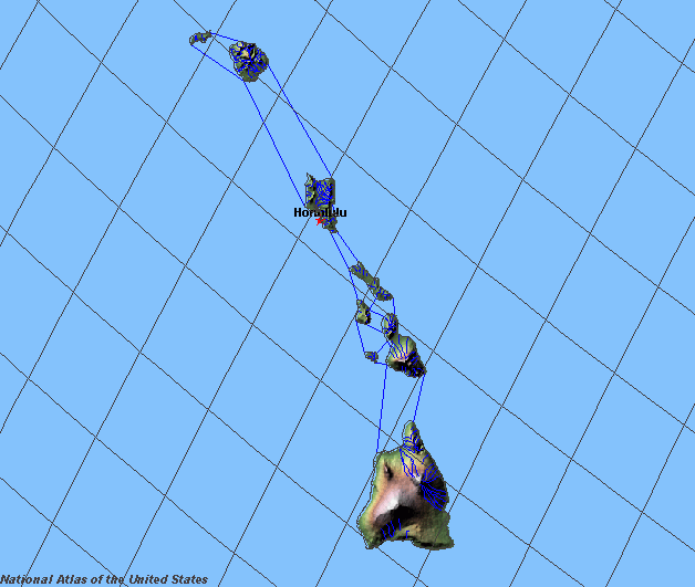
State rivers in their landscape. Notice that rivers are short and broadly flow radially from the mountain summits.
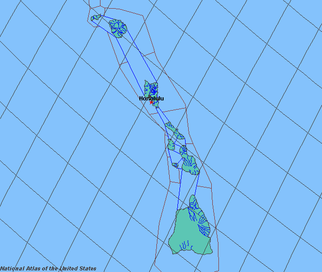
State rivers only. Download and print this to draw watershed boundaries or to put on river names.
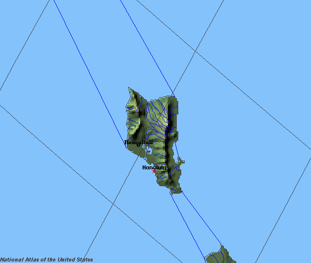
Enlarged view of part of the state river system. You can select other parts and your local area from the National Atlas (see below).
|
|
The Hawaiian islands are too small to support many rivers. All of the natural surface waters can be classed only as streams. The Hawaiian islands are all tall volcanoes and as they lie in the Trade Winds for much of the year, the north east side facing the winds receives quite high rainfalls while the south west side is in rainshadow and some areas are actually desert like. The streams therefore all run from the mountains, many down the northerly flanks of the mountains. One of the distinctive features about lava is that it is able to store large amounts of water. This is why the surfaces of lava fields are dry and why it takes so long for soils to form. But while the water seeping into the lava makes the surface dry, the water remains stored inside the rock and so the main water supply of the islands can be taken from groundwater sources. So great is this supply of artesian water that some of it is actually used for irrigation, while it is also sufficient to supply the needs of modern cities like Honolulu as well as large extra populations of tourists. |