|
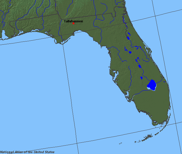
State rivers in their landscape. Notice that rivers are short and broadly flow east or west across the peninsular part of the state. Rivers in the northwest flow south and southeast from the Appalachians.
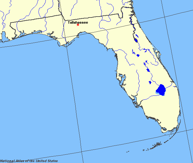
State rivers only. Download and print this to draw watershed boundaries or to put on river names.
Enlarged view of part of the state river system. You can select other parts and your local area from the National Atlas (see below). The large lake is Lake Okeechobee.
|
|
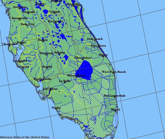
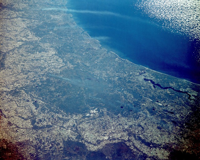
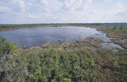
The Okefenokee Swamp Region, Georgia and Florida. This northeast-looking, low-oblique photograph shows the Okefenokee Swamp (dark greenish-blue area near the center of the photograph) and the Atlantic Coastal Plain of southeastern Georgia and northern Florida. The Okefenokee Swamp is considered a deciduous forest, or bottom hardwood swamp, in a coastal basin that is flooded annually by slow-moving streams. The Suwannee River rises and is the main river or stream in the swamp. The Okefenokee Swamp is 40 miles (64 kilometres) long, averages 20 miles (32 kilometres) in width, and covers 600 square miles (1555 square kilometres). The swamp sits in a saucer-shaped depression with low ridges and small islands rising above the water and vegetation cover. Tall bald cypress trees, relatives of the California redwoods, provide a rich habitat for numerous species of wildlife and a host of epiphytic and climbing plants. This type of cypress swamp depends for its survival on periodic fires, as well as water. White smoke plumes are scattered throughout the swamp area. Jacksonville, Florida, at the north end of the Saint Johns River, can be seen to the east-southeast of the Okefenokee Swamp area. The barrier islands along the southeastern Georgia coast are visible to the east and northeast of the swamp region.(NASA)The peninsular of Florida is not wide and has no really high elevations. As a result, the conditions do not exist for large river basins. Rather the state is characterized by small lakes, ponds and swamps, especially the Everglades in the south. Of the 30,000 lakes and ponds in Florida, the largest is Lake Okeechobee (area 1900 square kilometres (700 square miles)) just northwest of Fort Lauderdale. This is the second largest lake to be wholly within the United States. Its deepest point, however, is a mere 6 m (20 feet). Under the heat of the blazing subtropical sun, vast amounts of water evaporate each year, so that the river outlets are small. Even these have now been canalised, so that no natural river exists.
Okefenokee swampA number of small rivers, each with a wide estuary, flow to the sea. They include the St. Johns River, in the north, which reaches the sea near Jacksonville. The slow aimless course of this river, with its lakes set along its 300 kilometres (200 miles) route, make it a very unusual river. Its headwaters are southeast of Orlando, close to the coast.
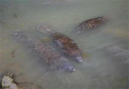
Manatees are common in river estuaries.The Apalachicola, the largest river on the west coast, has its headwaters in Georgia. The Escambia and the Choctawhatchee were used for river traffic in the days before the arrival of the railroad.
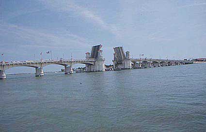
Many rivers are small and quickly become estuaries. This is St Augustine.Florida's most famous river is the Suwannee River which begins in the Okefenokee swamp of Georgia and flows south. It was made famous by the music hall song of the same name. Part of Florida is underlain by limestone and this gives rise to a network of underground drainage systems which, in turn, flow to the surface as artesian springs. Florida has 17 of the biggest springs in the United States. |