|
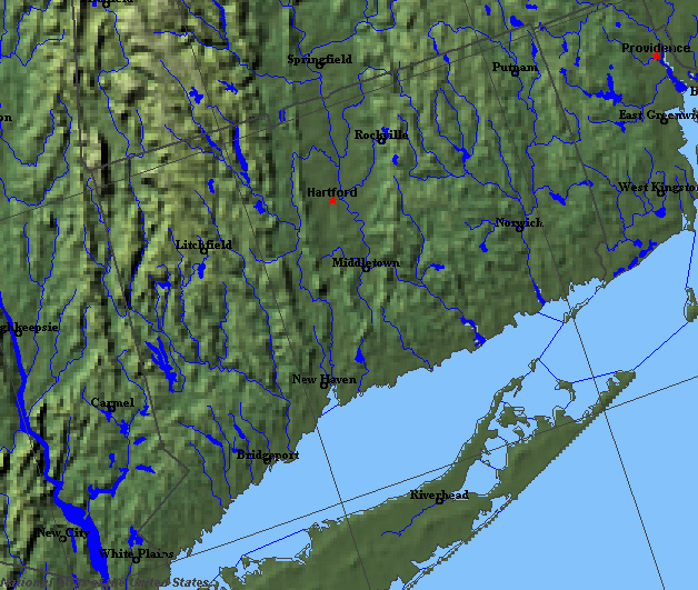
State rivers in their landscape. The rivers are essentially draining south, many following valleys that run parallel to folds and other structures in the Appalachians.
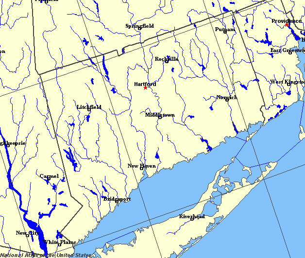
State rivers only. Download and print this to draw watershed boundaries or to put on river names.
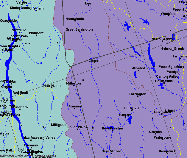
Enlarged view of the western part of the state river system. It shows how many rivers have been dammed and reservoirs formed. The river on the left is the Hudson in New York state. You can select other parts and your local area from the National Atlas (see below).
|
|
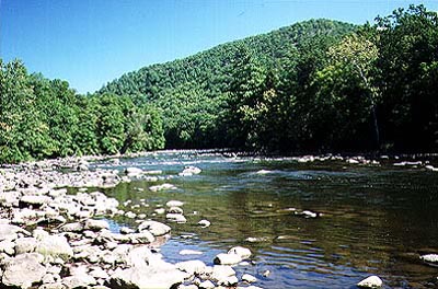
The Housatonic River at Cornwall.
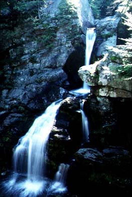
Tributary of the Housatonic River at Kent.
Connecticut lies on the eastern slopes of the Appalachian Mountains. The grain of the country is north to south, with valleys and hills paralleling each other . As a result, most rivers flow north to south for the majority of their courses, rather than taking the more direct eastward direction to the Atlantic Ocean. The land has been extensively glaciated and both erosion and deposition have played a hand in the pattern of rivers in the state. The three major river systems that cover the state are the Connecticut River, which runs down the middle, the Quinebaug-Shetucket-Thames, which flows in the east, and the Housatonic-Naugatuck which flows in the west. The Connecticut River is the longest river of New England. Its source is on the border with New Hampshire. It flows out of Connecticut to reach the Atlantic Ocean at Long Island Sound. The main tributaries of the Connecticut within the state are the Farmington, Scantic, Podunk, Salmon, and Eight Mile rivers. The Connecticut is navigable to Hartford. In the case of the Quinebaug-Shetucket-Thames system, the Quinebaug has its source in southern Massachusetts and flows south. Near Taftville it joins the Shetucket River. The confluence of the Shetucket and the Yantic rivers at Norwich produces the Thames River. The Thames is navigable from Norwich to Long Island Sound. The Housatonic River also has its source in Massachusetts. It flows south and then southeast to reach Long Island Sound at Stratford. The Naugatuck River joins the Housatonic at Derby, famous for its iron making in the Industrial Revolution. The Housatonic was traditionally navigable for colonial ships as far upriver as Derby. A number of small rivers in the east - the Pawcatuck, Mystic, Niantic, Quinnipiac, and Saugatuck flow directly east into Long Island Sound. Most of the small lakes and ponds have their origins in glacial times. Most are held in by glacial moraine. The largest lakes are, however, both reservoirs. They are Lake Candlewood, to the north of Danbury, and the Barkhamsted Reservoir, to the north of New Hartford. |