|
To get a larger view of the maps below, right click or click and hold down, and choose "Open image in New Window".
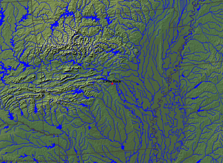
State rivers in their landscape. Notice how all other rivers drain to the main river, the Mississippi, and how wide the floodplain of the Mississippi is.
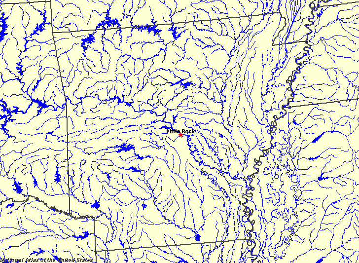
State rivers only. Download and print this to draw watershed boundaries or to put on river names.
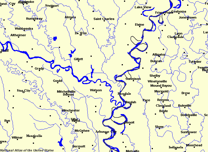
Enlarged view of part of the state river system. In this detailed picture you can see the oxbows of the Mississippi and some cutoffs. Compare the oxbows with the state boundaries. You can select other parts and your local area from the National Atlas (see below).
|
|
The whole of Arkansas is drained by the Mississippi and the Mississippi forms the eastern boundary of the state. The main rivers draining to the Mississippi are the Red River in the southwest, the Ouachita River in the south, the Arkansas River (which runs across the middle of the state), the White River in the north, and the St. Francis River in the northeast.
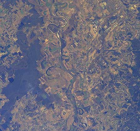
Oxbows on the Arkansas River.
Many small rivers run from the Ozark Plateau, the highest land in the state. Once the Mississippi floodplain was a wide swamp, but it has long been drained and the old oxbows (formed by the changing meanders of the Mississippi across its floodplain) now form small lakes while the rest of the floodplain is farmland, protected by river levees. The larger lakes are reservoirs built as part of flood control projects. They have the added benefit of being tourist and recreational attractions. One unusual source of water in the state is the Hot Springs National Park.
|