The word "map" comes from the medieval Latin 'mappa mundi', (mappa meant cloth and mundi the world). That is the world drawn on a cloth. The word we use today 'map' is simply a shortened version of this.
We use maps all of the time whether we notice it or not. A satnav uses a map, but only shows us little pieces at a time. Maps are used in television reports to show us where places are that the news is telling us about.
What a map does is to try to show an area as though we were high in the sky above it, just as satellite views do. But the purpose of a map is to simplify the world, and to highlight the features that the map-maker thinks are important. So the map might not show landscape features such as mountains if the map-maker wants to show only roads.
So maps are an accurate view down on the world, but showing things selectively, and often using symbols. Symbols are used to make maps easier to read at a glance. So a red line on a travel map will be understood by us all to mean a road. A circle or square might be used to mean town or city; a blue line to mean a river, and so on.
Maps can be of any area you want. So, you might want a map of the world, or a map of your street. If you want a map of a smaller area still, say the plot of ground where your house is, that is called a plan, but it is still a map.
Today, if we make a map of a large area, we normally help people to know which way it is drawn by putting on an arrow marking north. That is very important for hikers, for example, because it helps them to know which direction to walk. They simply use a compass to find north, then swivel round the map to match.
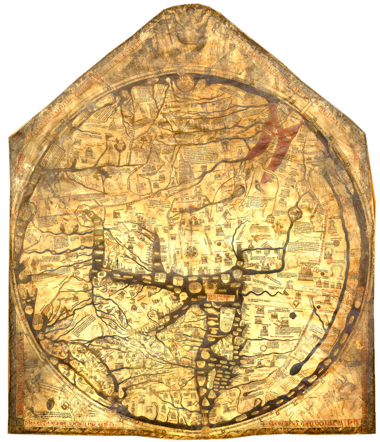
Today, maps of large areas are almost always drawn with north at the top, but that was not the case in the past. In the famous 1300 AD Mappa Mundi in Hereford Cathedral, England, for example, the top of the map is East. At that time most maps were drawn by people connected to the church, and to them the most important place to know about was Jerusalem, where Christ lived. So on this map (called a "T-O" map), Jerusalem is at the centre, east is at the top, Europe is at the bottom left and Africa is on the right. (The Americas and Australasia were not known about at this time in Europe).
When you turn a map around to face a particular direction, you are 'orienting' it. The sport, orienteering, uses the same word. This word comes from the Latin 'oriens', meaning East.
These features apply to maps from the 'Western' tradition, meaning mostly maps produced by Europeans and places they colonised. But many regions of the world developed map-making, and they each had their own priorities for which way round (which orientation) the map should be.
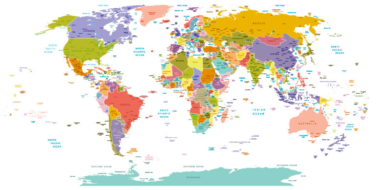
It was Ptolemy's Geography to Europe, published around 1400, that started the modern way of putting North at the top.
But even here, maps are not always drawn with north at the top. Maps of cities by the sea tend to have the shore at the top or bottom, no matter where north is. Bird's eye maps do the same.
Maps from non-Western traditions are oriented in a variety of ways. The Japanese always put the Imperial Palace at the top of their maps, for example.
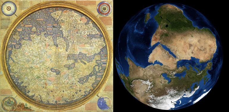
The problem a map has to overcome is that it is flat, while the landscape it is representing is a sphere. The difference isn't all that important when the area being mapped is small, but it is very important when the map is of continents or the world. That is why map-makers (cartographers) have developed strange looking maps of the world. Each of them is a mathematical way equivalent to peeling off the surface and laying it out flat. Think of taking the rind off of an orange and then squashing it flat, and you will see you have to slit the orange rind to make it go flat. If you don't do that, you have to distort the shape.
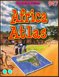
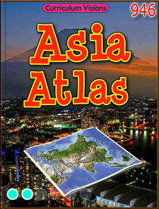
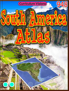
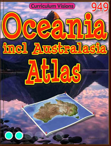
An atlas is a book containing many related maps, usually of large areas, such as the UK, USA, Europe etc.