Iowa is home to some of the most fertile top soil in the world. Its land areas can be divided into three main regions; the Young Drift Plains, which cover most of the northern and central parts of Iowa, the Driftless Area parallel to the Mississippi River in the northeast, and the Dissected Till Plains in the southern area of the state.
The Young Drift Plains are mostly flat, fertile lands. This land was covered by clay, sand, gravel, and rocks, called drift, left by glaciers during the ice age. Where the drift was not spread evenly by the glaciers, lakes and swamps filled the hollows in the land. It’s a very flat area that's punctuated by a scattering of gently rolling hills. This area is famous for being the most productive corn-producing land in the entire United States. The Driftless Area was not flattened as much as the Young Drift Plains and so has rugged hills and cliffs. Any drift that was deposited in this area was been blown or washed away. The soil is thin and not good for farming. The hills are covered in pine-forest. The Dissected Till Plains were created when ice age glaciers left deposited a mixture of clay, sand, gravel, and boulders, called till. Over thousands of years, rivers and streams cut into (dissected) the till, forming low, rolling hills and ridges.
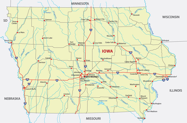
The Mississippi and Missouri are Iowa’s most important rivers. The Mississippi rises in northwestern Minnesota, then flows south to the Gulf of Mexico, just below the city of New Orleans. When combined with its major tributaries (the Missouri and Ohio rivers) it becomes the third largest river system in the world at (2,339 miles) (3,765 km) in length. The Missouri rises in southern Montana in the Rocky Mountains, first flowing north then generally southeast across the heart of the United States, ending at the Mississippi River, just to the north of St. Louis, Missouri. Iowa’s position in between these two rivers has helped to influence the growth and development of the state.
Many dozens of small lakes are scattered about the state, and additional rivers of note include the Cedar and Des Moines. Both the Missouri and Mississippi rivers flow quite gently, while the upper Iowa and Turkey rivers in the Driftless Area generally have more rapids. Streams criss-cross the state, the northwestern part of the Drift Plains has a number of lakes, used mainly for recreation. Aside from these, the lakes and swamps that were left by the glaciers have been drained by a combination of natural erosion and tile drainage.
Iowa, like most of the Midwest, has a humid continental climate. Winters are cold, with January temperatures averaging about 14 °F (-10°C) in the northwestern section of the state and in the low 20s F (about -6°C) in the southeast. Snowfall is light compared with the amount received in other states to the north and east. Iowa summers are known for heat and humidity, with daytime temperatures often near 90°F (32°C) and sometimes over 100°F (38°C). Rain falls mostly in the summer. The annual average rainfall ranges from less than 26 inches (660 mm) in the northwest to more than 38 inches (965 mm) in the southeast. Iowa's all-time hottest temperature of 118°F (48°C) was recorded at Keokuk on July 20, 1934; the all-time lowest temperature of -47°F (-44°C) was recorded at Washta on 12 January 1912 and again at Elkader on February 3, 1996.